UN/LOCODE hub · United States
USRU2
Republic
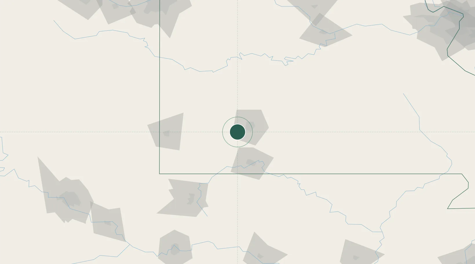
37.1167°, -93.4667°
16,005
Population
1
Transport functions
Transport Functions
Multimodal
Hub Profile
Place type
Populated place
Region
Missouri
Population
16,005
Time zone
America/Chicago
Elevation
399 m
Location
Nearby Logistics Neighbours
Cities
- 1Brookline Station5 km
- 2Brookline6 km
- 3Billings9 km
- 4Marionville20 km
- 5Willard21 km
Ports
- 1Port Of Memphis374 km
- 2Calumet Harbor724 km
- 3Indiana Harbor724 km
- 4Gary727 km
- 5Chicago731 km
Airports
Trade Zones
- 1FTZ No. 225 Springfield29 km
- 2FTZ No. 015 Kansas City229 km
- 3FTZ No. 053 Rogers County230 km
- 4FTZ No. 164 Muskogee234 km
- 5FTZ No. 017 Kansas City251 km
DatabookThe Record of Consolidated Knowledge
United States beyond logistics?