UN/LOCODE hub · United States
USBGS
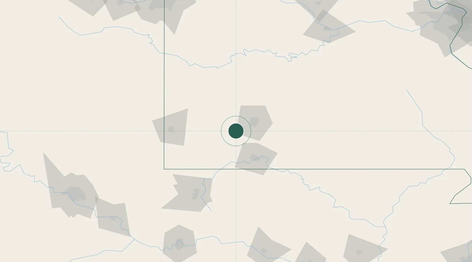
Billings
37.0667°, -93.5500°
1,083
Population
3
Transport functions
Transport Functions
Rail
Road
Multimodal
Hub Profile
Place type
Populated place
Region
Missouri
Population
1,083
Time zone
America/Chicago
Elevation
417 m
Location
Nearby Logistics Neighbours
Cities
- 1Republic9 km
- 2Marionville11 km
- 3Brookline Station14 km
- 4Brookline15 km
- 5Mount Vernon24 km
Ports
- 1Port Of Memphis377 km
- 2Calumet Harbor733 km
- 3Indiana Harbor733 km
- 4Gary736 km
- 5Chicago740 km
Airports
Trade Zones
- 1FTZ No. 225 Springfield38 km
- 2FTZ No. 053 Rogers County221 km
- 3FTZ No. 164 Muskogee225 km
- 4FTZ No. 015 Kansas City230 km
- 5FTZ No. 017 Kansas City253 km
DatabookThe Record of Consolidated Knowledge
United States beyond logistics?