UN/LOCODE hub · United States
USIVJ
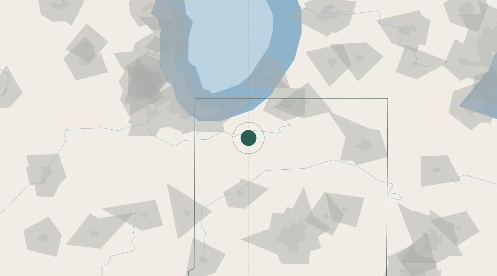
North Judson
41.2000°, -86.7667°
1,739
Population
1
Transport functions
Transport Functions
Multimodal
Hub Profile
Place type
Populated place
Region
Indiana
Population
1,739
Time zone
America/Indiana/Knox
Elevation
217 m
Location
Nearby Logistics Neighbours
Cities
- 1Francesville26 km
- 2Kouts26 km
- 3DeMotte35 km
- 4Buffalo37 km
- 5Kingsbury38 km
Ports
- 1Michigan City60 km
- 2Gary66 km
- 3Indiana Harbor76 km
- 4Calumet Harbor86 km
- 5Chicago103 km
Airports
Trade Zones
- 1FTZ No. 152 Burns Harbor57 km
- 2FTZ No. 125 South Bend63 km
- 3FTZ No. 022 Chicago116 km
- 4FTZ No. 182 Fort Wayne124 km
- 5FTZ No. 292 Lake County156 km
DatabookThe Record of Consolidated Knowledge
United States beyond logistics?