UN/LOCODE hub · United States
USFCV
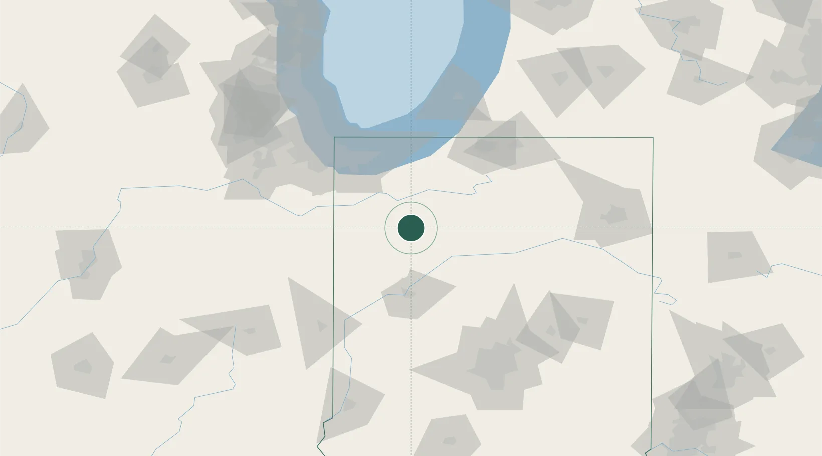
Francesville
40.9833°, -86.8667°
837
Population
4
Transport functions
Transport Functions
Port
Rail
Road
Multimodal
Hub Profile
Place type
Populated place
Region
Indiana
Population
837
Time zone
America/Indiana/Winamac
Elevation
207 m
Location
Nearby Logistics Neighbours
Cities
- 1Monon13 km
- 2Buffalo17 km
- 3Collegeville25 km
- 4North Judson26 km
- 5Monticello30 km
Ports
- 1Gary81 km
- 2Michigan City83 km
- 3Indiana Harbor90 km
- 4Calumet Harbor100 km
- 5Chicago117 km
Airports
Trade Zones
- 1FTZ No. 152 Burns Harbor75 km
- 2FTZ No. 125 South Bend88 km
- 3FTZ No. 022 Chicago126 km
- 4FTZ No. 182 Fort Wayne133 km
- 5FTZ No. 072 Indianapolis148 km
DatabookThe Record of Consolidated Knowledge
United States beyond logistics?