Transport Functions
Road
Airport
Multimodal
Hub Profile
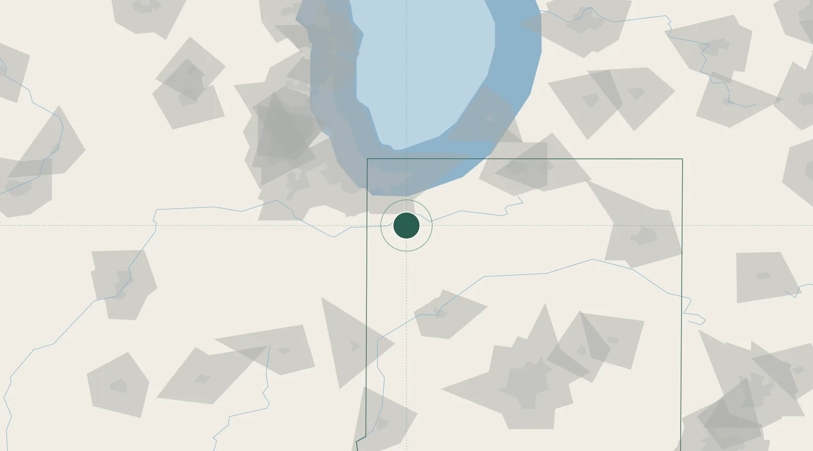
Place type
Populated place
Region
Indiana
Population
3,814
Time zone
America/Chicago
Elevation
204 m
Location
Nearby Logistics Neighbours
Cities
- 1Shelby13 km
- 2Hebron15 km
- 3Kouts19 km
- 4Lowell, Lake23 km
- 5Collegeville30 km
Ports
- 1Gary50 km
- 2Indiana Harbor58 km
- 3Michigan City66 km
- 4Calumet Harbor67 km
- 5Chicago85 km
Airports
Trade Zones
- 1FTZ No. 152 Burns Harbor49 km
- 2FTZ No. 125 South Bend89 km
- 3FTZ No. 022 Chicago92 km
- 4FTZ No. 292 Lake County140 km
- 5FTZ No. 182 Fort Wayne159 km
DatabookThe Record of Consolidated Knowledge
United States beyond logistics?