Transport Functions
Multimodal
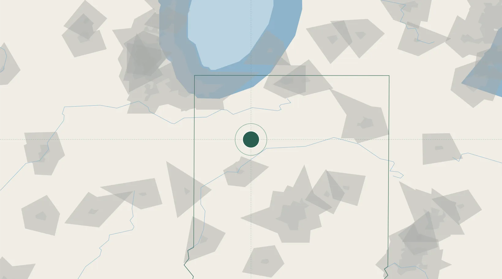
Hub Profile
Place type
Populated place
Region
Indiana
Population
692
Time zone
America/Indiana/Indianapolis
Elevation
204 m
Location
Nearby Logistics Neighbours
Cities
- 1Monon11 km
- 2Monticello15 km
- 3Francesville17 km
- 4Brookston32 km
- 5Delphi32 km
Ports
- 1Gary97 km
- 2Michigan City97 km
- 3Indiana Harbor107 km
- 4Calumet Harbor117 km
- 5Chicago134 km
Airports
Trade Zones
- 1FTZ No. 152 Burns Harbor91 km
- 2FTZ No. 125 South Bend96 km
- 3FTZ No. 182 Fort Wayne123 km
- 4FTZ No. 072 Indianapolis132 km
- 5FTZ No. 022 Chicago144 km
DatabookThe Record of Consolidated Knowledge
United States beyond logistics?