UN/LOCODE hub · United States
USZKT

Kouts

41.3167°, -87.0333°
1,967
Population
3
Transport functions

Transport Functions

Rail
Road
Multimodal
UN/LOCODE

Hub Profile

Place type
Populated place
GeoNames
Region
Indiana
GeoNames
Population
1,967
GeoNames
Time zone
America/Chicago
GeoNames
Elevation
208 m
GeoNames

Location

Location of USZKT
Natural Earth 10m (public domain) · Indiana · USZKT · 41.32, -87.03GoogleOSMYandex

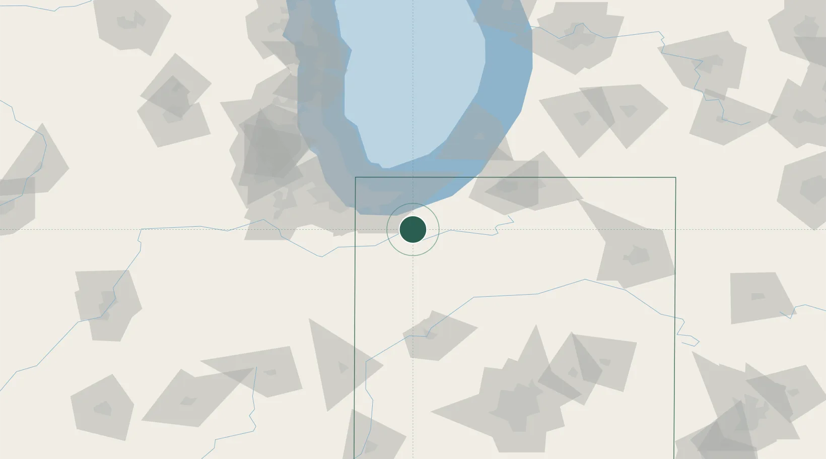
Nearby Logistics Neighbours

Cities
  1. 1Hebron14 km
  2. 2DeMotte19 km
  3. 3North Judson26 km
  4. 4Shelby29 km
  5. 5Chesterton31 km
Nearest neighbours — logibook spatial index (haversine) over the source coordinates
Ports
  1. 1Gary42 km
  2. 2Michigan City48 km
  3. 3Indiana Harbor51 km
  4. 4Calumet Harbor61 km
  5. 5Chicago79 km
Nearest neighbours — logibook spatial index (haversine) over the source coordinates
Airports
  1. 1Porter County Municipal Airport15 km
  2. 2Gary/Chicago International Airport46 km
  3. 3Michigan City Municipal Airport47 km
  4. 4Greater Kankakee Airport73 km
  5. 5South Bend International Airport74 km
Nearest neighbours — logibook spatial index (haversine) over the source coordinates
Trade Zones
  1. 1FTZ No. 152 Burns Harbor36 km
  2. 2FTZ No. 125 South Bend70 km
  3. 3FTZ No. 022 Chicago90 km
  4. 4FTZ No. 292 Lake County132 km
  5. 5FTZ No. 182 Fort Wayne148 km
Nearest neighbours — logibook spatial index (haversine) over the source coordinates
DatabookThe Record of Consolidated Knowledge
United States beyond logistics?
Browse databook

All Sources

LocationsUN/LOCODE
UN/LOCODE — free
LocationsGeoNames
CC BY 4.0
Portsthe NGA World Port Index
Public domain (US gov)
AirportsOurAirports
Public domain
Trade Zonesthe World Bank SEZ database
CC BY 4.0
Trade ZonesOpen Zone Map
CC BY
← United States locations