UN/LOCODE hub · United States
USTSA
Savannah
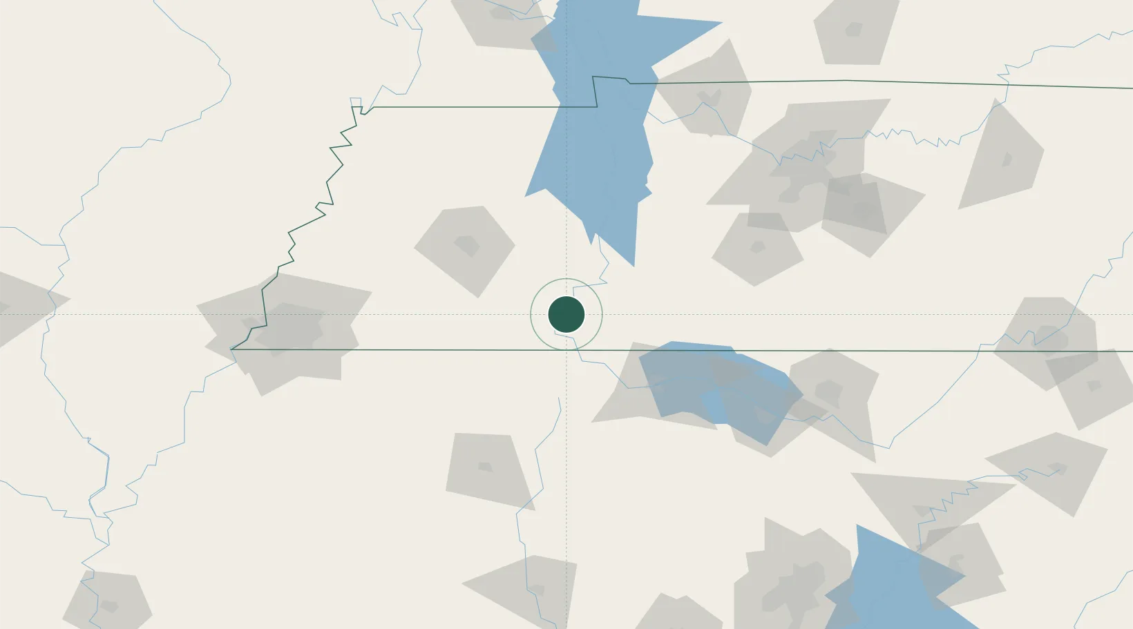
35.2167°, -88.2333°
7,027
Population
2
Transport functions
Transport Functions
Port
Road
Hub Profile
Place type
Provincial seat
Region
Tennessee
Population
7,027
Time zone
America/Chicago
Elevation
135 m
Location
Nearby Logistics Neighbours
Cities
- 1Montgomery27 km
- 2Houston29 km
- 3Clifton29 km
- 4Collinwood46 km
- 5Iuka47 km
Ports
- 1Port Of Memphis177 km
- 2Mobile504 km
- 3Biloxi541 km
- 4Pascagoula542 km
- 5Pensacola544 km
Airports
Trade Zones
- 1FTZ No. 265 Conroe (Montgomery County)132 km
- 2FTZ No. 270 Lawrence County136 km
- 3FTZ No. 283 West Tennessee143 km
- 4FTZ No. 083 Huntsville148 km
- 5FTZ No. 078 Nashville151 km
DatabookThe Record of Consolidated Knowledge
United States beyond logistics?