UN/LOCODE hub · United States
USITT
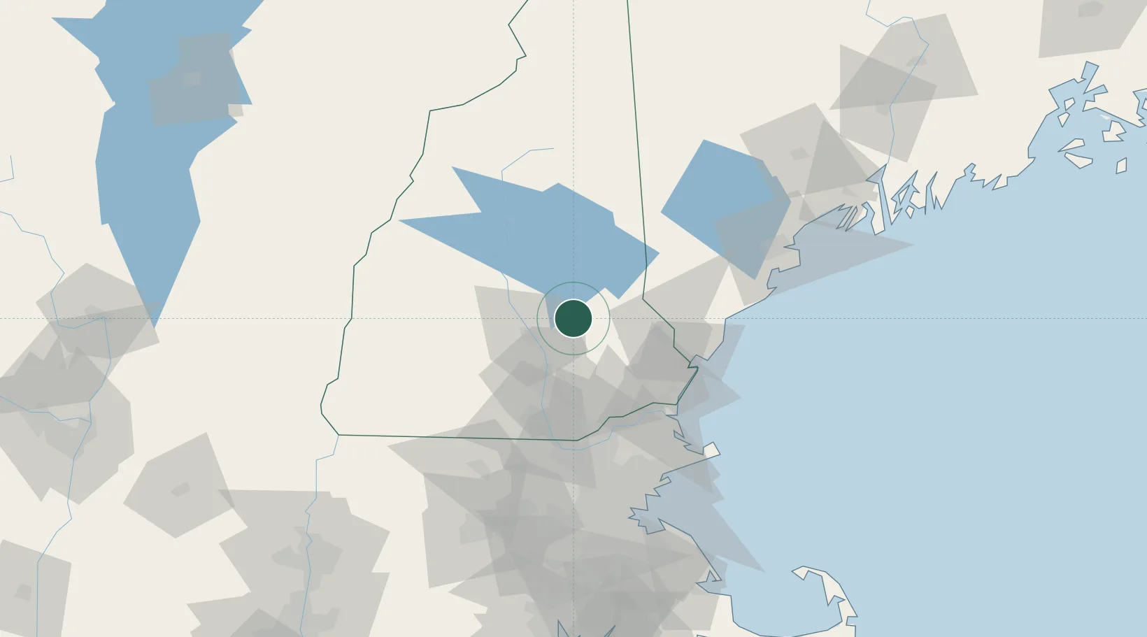
Pittsfield
43.3000°, -71.3167°
1,576
Population
2
Transport functions
Transport Functions
Road
Multimodal
Hub Profile
Place type
Populated place
Region
New Hampshire
Population
1,576
Time zone
America/New_York
Elevation
151 m
Location
Nearby Logistics Neighbours
Cities
- 1Loudon12 km
- 2Deerfield20 km
- 3Allenstown22 km
- 4Pembroke22 km
- 5Farmington22 km
Ports
- 1Portsmouth52 km
- 2Newburyport65 km
- 3Kennebunkport69 km
- 4Saco74 km
- 5Rockport91 km
Airports
Trade Zones
- 1FTZ No. 081 Portsmouth47 km
- 2FTZ No. 027 Boston111 km
- 3FTZ No. 268 Brattleboro115 km
- 4FTZ No. 263 Auburn126 km
- 5FTZ No. 201 Holyoke165 km
DatabookThe Record of Consolidated Knowledge
United States beyond logistics?