Transport Functions
Port
Rail
Road
Multimodal
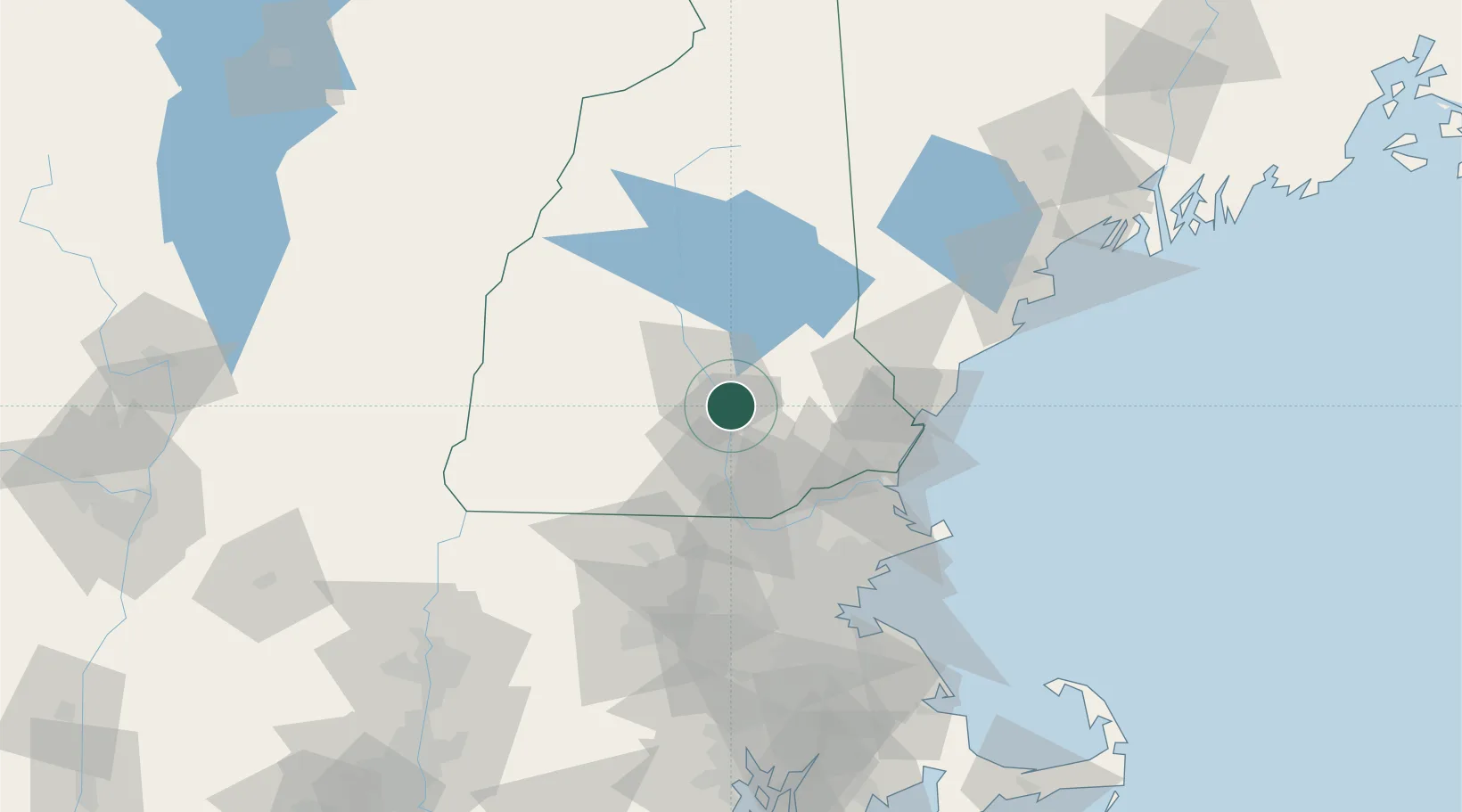
Hub Profile
Place type
District seat
Region
New Hampshire
Time zone
America/New_York
Elevation
104 m
Location
Nearby Logistics Neighbours
Cities
- 1Pembroke0 km
- 2Hooksett4 km
- 3Bow Center10 km
- 4Loudon17 km
- 5Auburn17 km
Ports
- 1Portsmouth57 km
- 2Newburyport59 km
- 3Beverly81 km
- 4Salem83 km
- 5Kennebunkport84 km
Airports
Trade Zones
- 1FTZ No. 081 Portsmouth50 km
- 2FTZ No. 027 Boston95 km
- 3FTZ No. 268 Brattleboro98 km
- 4FTZ No. 201 Holyoke144 km
- 5FTZ No. 105 Providence and North Kingstown146 km
DatabookThe Record of Consolidated Knowledge
United States beyond logistics?