UN/LOCODE hub · United States
USEWG
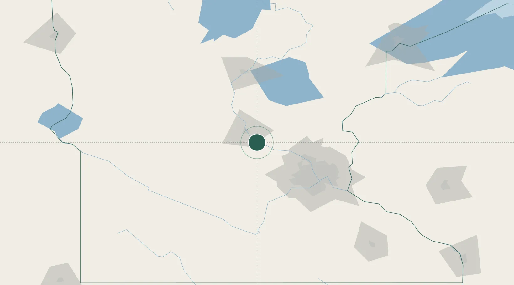
Clearwater
45.4167°, -94.0500°
1,783
Population
4
Transport functions
Transport Functions
Port
Rail
Road
Multimodal
Hub Profile
Place type
Populated place
Region
Minnesota
Population
1,783
Time zone
America/Chicago
Elevation
294 m
Location
Nearby Logistics Neighbours
Cities
- 1Becker15 km
- 2Annandale20 km
- 3Waite Park20 km
- 4Maple Lake21 km
- 5Kimball23 km
Ports
- 1Superior212 km
- 2Duluth213 km
- 3Two Harbors256 km
- 4Ashland279 km
- 5Washburn281 km
Airports
Trade Zones
- 1FTZ No. 119 Minneapolis-St. Paul81 km
- 2FTZ No. 051 Duluth204 km
- 3FTZ No. 267 Fargo276 km
- 4FTZ No. 288 Northwest Iowa298 km
- 5FTZ No. 220 Sioux Falls301 km
DatabookThe Record of Consolidated Knowledge
United States beyond logistics?