Transport Functions
Rail
Road
Hub Profile
Place type
Populated place
Region
Minnesota
Population
476
Time zone
America/Chicago
Elevation
426 m
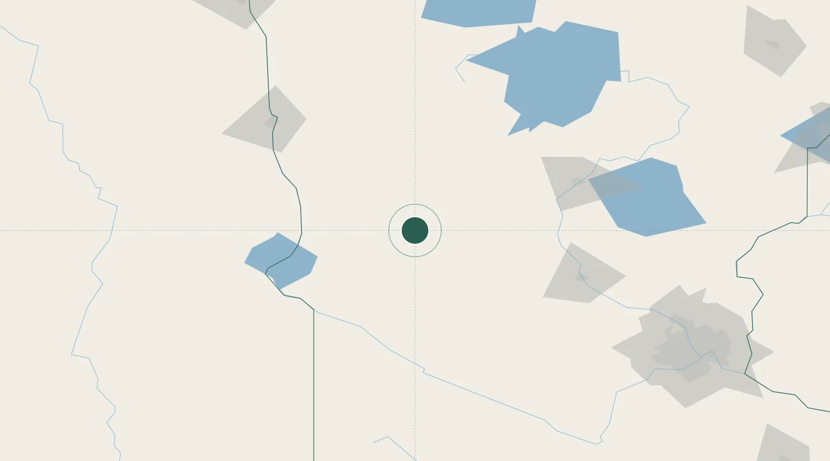
Location
Nearby Logistics Neighbours
Cities
- 1Sauk Centre56 km
- 2Hancock56 km
- 3Staples76 km
- 4Pelican Rapids76 km
- 5Danvers79 km
Ports
- 1Duluth283 km
- 2Superior284 km
- 3Two Harbors324 km
- 4Ashland370 km
- 5Washburn370 km
Airports
- 1Chandler Field19 km
- 2Brainerd Lakes Regional Airport123 km
- 3Saint Cloud Regional Airport128 km
- 4Hector International Airport141 km
- 5Hutchinson Health Heliport155 km
Trade Zones
- 1FTZ No. 267 Fargo144 km
- 2FTZ No. 119 Minneapolis-St. Paul215 km
- 3FTZ No. 103 Grand Forks247 km
- 4FTZ No. 051 Duluth272 km
- 5FTZ No. 259 Koochiching County275 km
DatabookThe Record of Consolidated Knowledge
United States beyond logistics?