Transport Functions
Road
Multimodal
Hub Profile
Place type
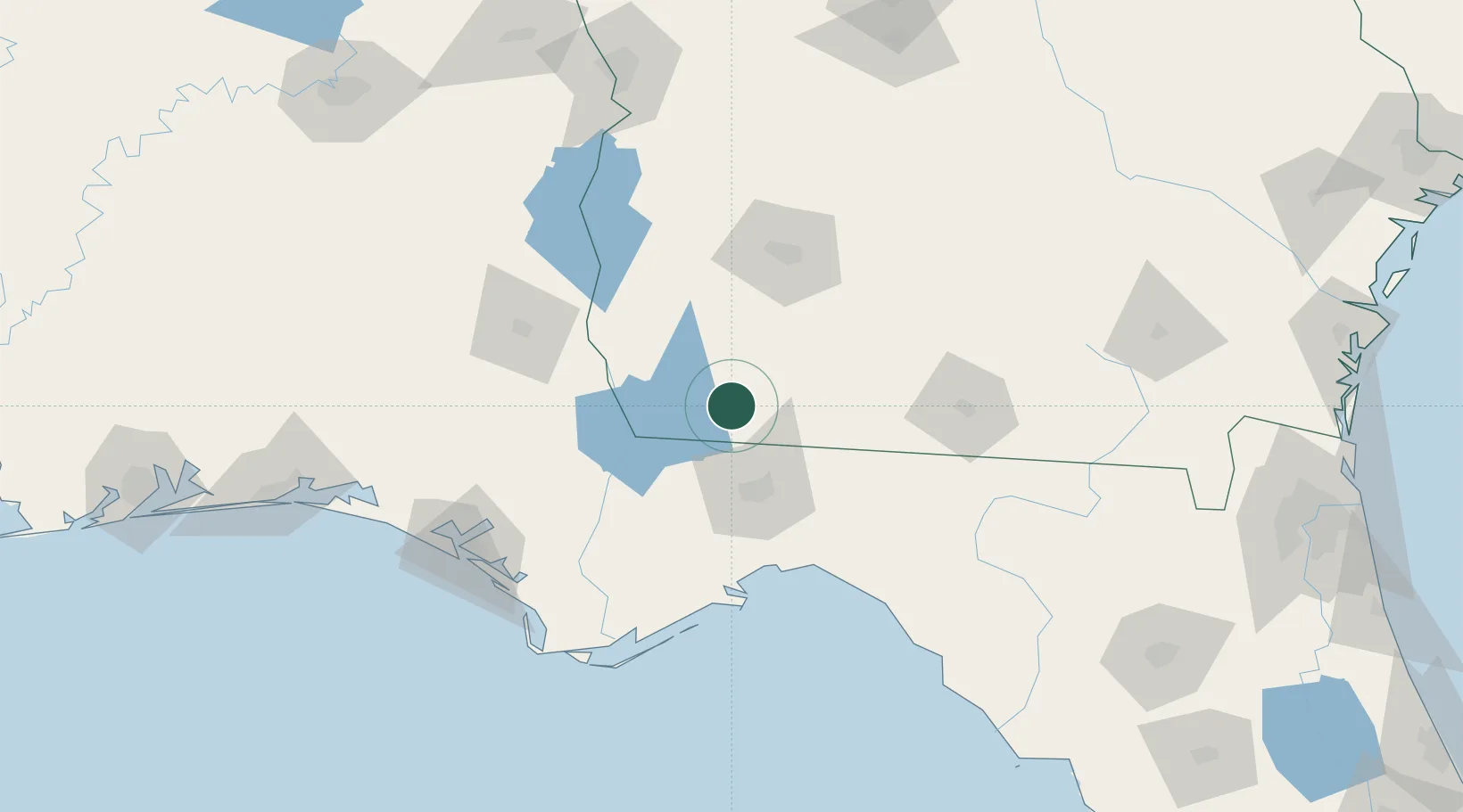
Populated place
Region
Georgia
Population
273
Time zone
America/New_York
Elevation
87 m
Location
Nearby Logistics Neighbours
Cities
- 1Havana28 km
- 2Donalsonville47 km
- 3Sneads51 km
- 4Coolidge55 km
- 5Boston61 km
Ports
- 1Carrabelle116 km
- 2Apalachicola139 km
- 3Panama City144 km
- 4Port St Joe145 km
- 5Jacksonville272 km
Airports
Trade Zones
- 1FTZ No. 233 Dothan104 km
- 2FTZ No. 065 Panama City147 km
- 3FTZ No. 064 Jacksonville242 km
- 4FTZ No. 222 Montgomery245 km
- 5FTZ No. 249 Pensacola276 km
DatabookThe Record of Consolidated Knowledge
United States beyond logistics?