UN/LOCODE hub · United States
USHV3

Havana

30.6167°, -84.4167°
1,688
Population
3
Transport functions

Transport Functions

Rail
Road
Multimodal
UN/LOCODE

Hub Profile

Place type
Populated place
GeoNames
Region
Florida
GeoNames
Population
1,688
GeoNames
Time zone
America/New_York
GeoNames
Elevation
72 m
GeoNames

Location

Location of USHV3
Natural Earth 10m (public domain) · Florida · USHV3 · 30.62, -84.42GoogleOSMYandex

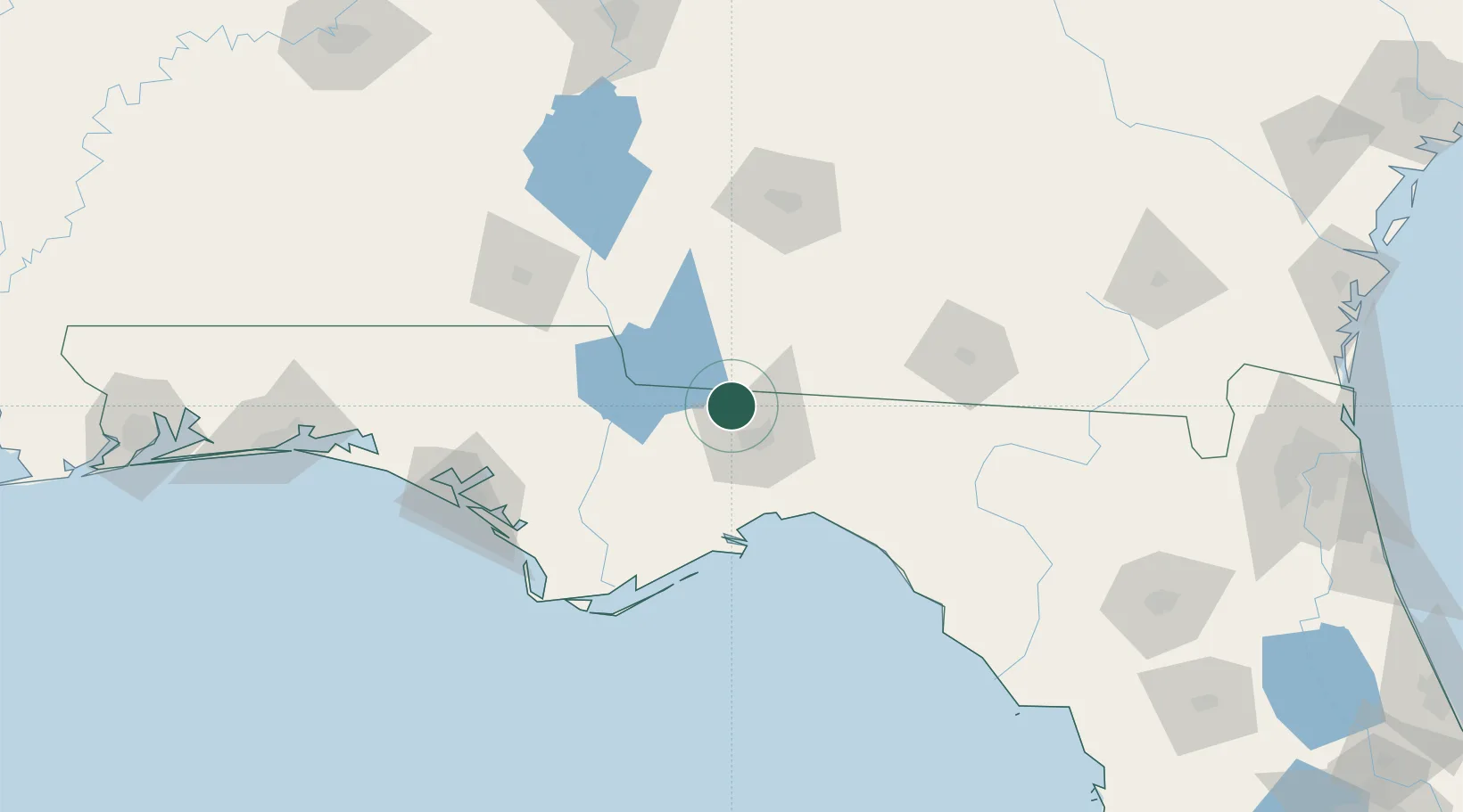
Nearby Logistics Neighbours

Cities
  1. 1Climax28 km
  2. 2Telogia49 km
  3. 3Sneads49 km
  4. 4Donalsonville63 km
  5. 5Boston64 km
Nearest neighbours — logibook spatial index (haversine) over the source coordinates
Ports
  1. 1Carrabelle89 km
  2. 2Apalachicola114 km
  3. 3Port St Joe124 km
  4. 4Panama City130 km
  5. 5Jacksonville267 km
Nearest neighbours — logibook spatial index (haversine) over the source coordinates
Airports
  1. 1Tallahassee International Airport25 km
  2. 2Southwest Georgia Regional Airport104 km
  3. 3Valdosta Regional Airport111 km
  4. 4Moody Air Force Base123 km
  5. 5Dothan Regional Airport126 km
Nearest neighbours — logibook spatial index (haversine) over the source coordinates
Trade Zones
  1. 1FTZ No. 233 Dothan118 km
  2. 2FTZ No. 065 Panama City135 km
  3. 3FTZ No. 064 Jacksonville237 km
  4. 4FTZ No. 222 Montgomery265 km
  5. 5FTZ No. 249 Pensacola273 km
Nearest neighbours — logibook spatial index (haversine) over the source coordinates
DatabookThe Record of Consolidated Knowledge
United States beyond logistics?
Browse databook

All Sources

LocationsUN/LOCODE
UN/LOCODE — free
LocationsGeoNames
CC BY 4.0
Portsthe NGA World Port Index
Public domain (US gov)
AirportsOurAirports
Public domain
Trade Zonesthe World Bank SEZ database
CC BY 4.0
Trade ZonesOpen Zone Map
CC BY
← United States locations