Transport Functions
Rail
Road
Hub Profile
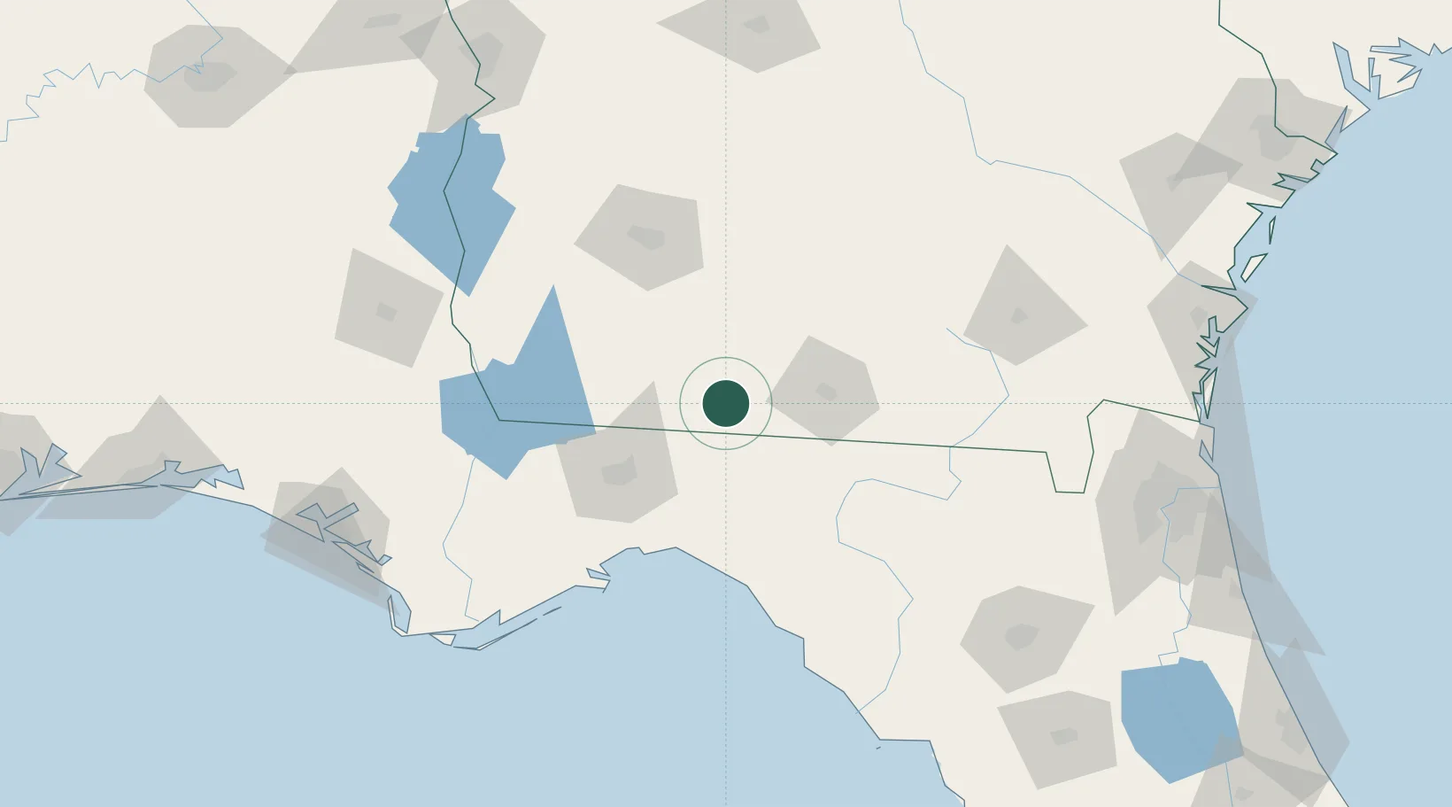
Place type
Populated place
Region
Georgia
Population
1,323
Time zone
America/New_York
Elevation
63 m
Location
Nearby Logistics Neighbours
Cities
- 1Coolidge24 km
- 2Old Rock Hill30 km
- 3Madison51 km
- 4Norman Park53 km
- 5Doerun59 km
Ports
- 1Carrabelle135 km
- 2Apalachicola167 km
- 3Port St Joe183 km
- 4Panama City194 km
- 5Jacksonville211 km
Airports
Trade Zones
- 1FTZ No. 233 Dothan164 km
- 2FTZ No. 064 Jacksonville181 km
- 3FTZ No. 065 Panama City199 km
- 4FTZ No. 144 Brunswick221 km
- 5FTZ No. 104 Savannah293 km
DatabookThe Record of Consolidated Knowledge
United States beyond logistics?