Transport Functions
Port
Rail
Road
Hub Profile
Place type
Populated place
Region
Georgia
Population
526
Time zone
America/New_York
Elevation
76 m
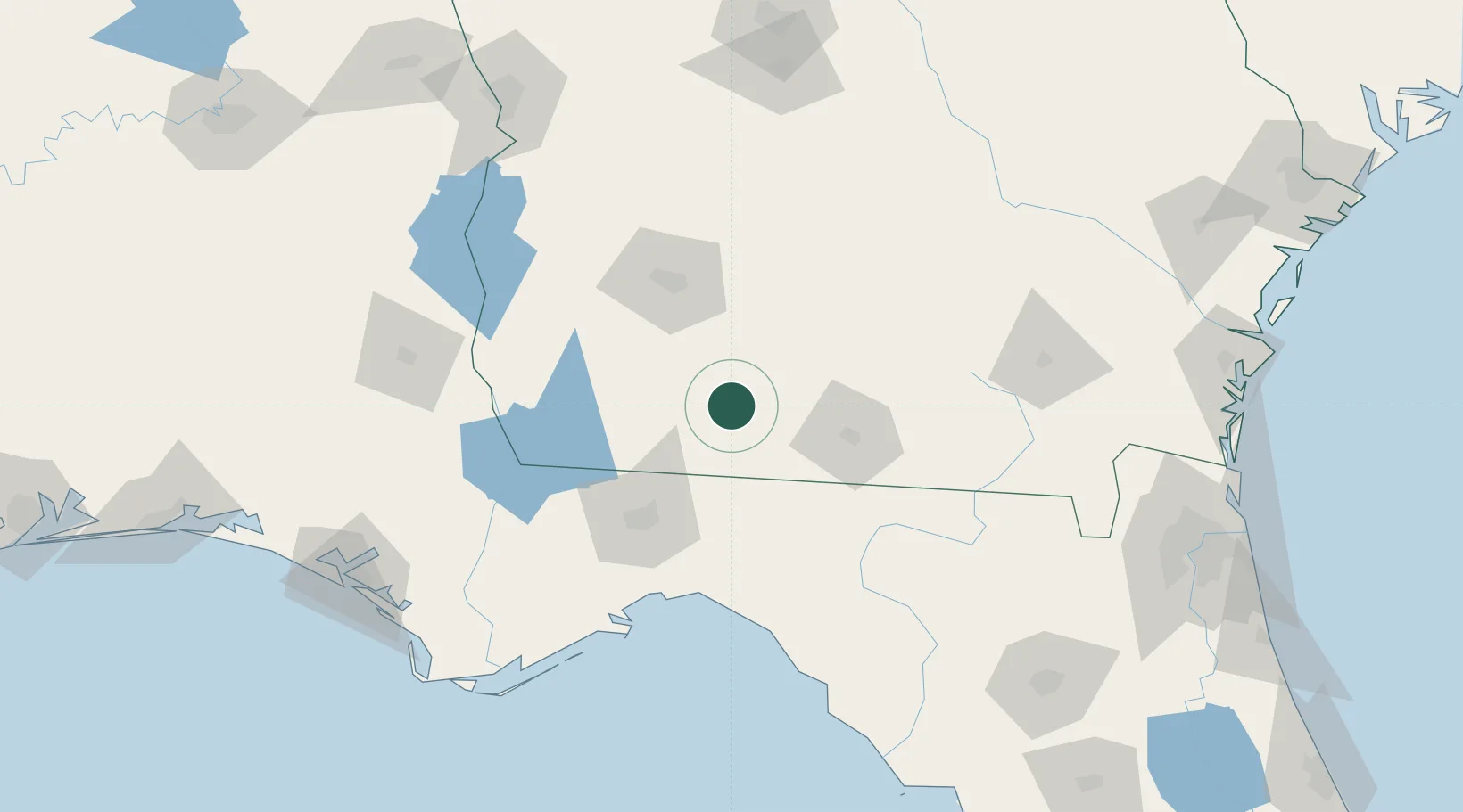
Location
Nearby Logistics Neighbours
Cities
- 1Boston24 km
- 2Old Rock Hill29 km
- 3Norman Park34 km
- 4Doerun36 km
- 5Anderson City41 km
Ports
- 1Carrabelle149 km
- 2Apalachicola178 km
- 3Port St Joe191 km
- 4Panama City196 km
- 5Jacksonville225 km
Airports
Trade Zones
- 1FTZ No. 233 Dothan151 km
- 2FTZ No. 064 Jacksonville196 km
- 3FTZ No. 065 Panama City200 km
- 4FTZ No. 144 Brunswick226 km
- 5FTZ No. 222 Montgomery277 km
DatabookThe Record of Consolidated Knowledge
United States beyond logistics?