UN/LOCODE hub · United States
USQSD

Sneads

30.7000°, -84.9167°
1,776
Population
2
Transport functions

Transport Functions

Rail
Road
UN/LOCODE

Hub Profile

Place type
Populated place
GeoNames
Region
Florida
GeoNames
Population
1,776
GeoNames
Time zone
America/Chicago
GeoNames
Elevation
36 m
GeoNames

Location

Location of USQSD
Natural Earth 10m (public domain) · Florida · USQSD · 30.70, -84.92GoogleOSMYandex

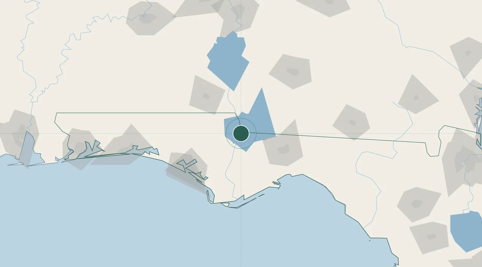
Nearby Logistics Neighbours

Cities
  1. 1Donalsonville37 km
  2. 2Telogia40 km
  3. 3Havana49 km
  4. 4Climax51 km
  5. 5Gordon51 km
Nearest neighbours — logibook spatial index (haversine) over the source coordinates
Ports
  1. 1Panama City94 km
  2. 2Carrabelle98 km
  3. 3Port St Joe106 km
  4. 4Apalachicola110 km
  5. 5Pensacola223 km
Nearest neighbours — logibook spatial index (haversine) over the source coordinates
Airports
  1. 1Tallahassee International Airport63 km
  2. 2Dothan Regional Airport86 km
  3. 3Northwest Florida Beaches International Airport92 km
  4. 4Tyndall Air Force Base94 km
  5. 5Cairns AAF (Fort Rucker) Air Field99 km
Nearest neighbours — logibook spatial index (haversine) over the source coordinates
Trade Zones
  1. 1FTZ No. 233 Dothan76 km
  2. 2FTZ No. 065 Panama City97 km
  3. 3FTZ No. 249 Pensacola227 km
  4. 4FTZ No. 222 Montgomery228 km
  5. 5FTZ No. 064 Jacksonville286 km
Nearest neighbours — logibook spatial index (haversine) over the source coordinates
DatabookThe Record of Consolidated Knowledge
United States beyond logistics?
Browse databook

All Sources

LocationsUN/LOCODE
UN/LOCODE — free
LocationsGeoNames
CC BY 4.0
Portsthe NGA World Port Index
Public domain (US gov)
AirportsOurAirports
Public domain
Trade Zonesthe World Bank SEZ database
CC BY 4.0
Trade ZonesOpen Zone Map
CC BY
← United States locations