UN/LOCODE hub · United States
USIES
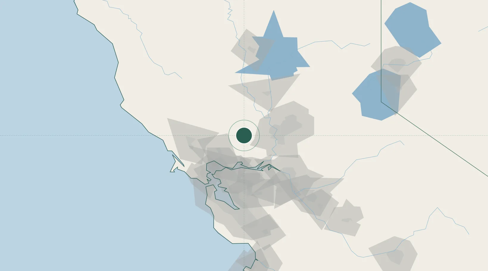
Winters
38.5167°, -121.9667°
7,034
Population
2
Transport functions
Transport Functions
Rail
Road
Hub Profile
Place type
Populated place
Region
California
Population
7,034
Time zone
America/Los_Angeles
Elevation
41 m
Location
Nearby Logistics Neighbours
Cities
- 1Zamora31 km
- 2Cordelia38 km
- 3Sacramento43 km
- 4Deer Park44 km
- 5Vineburg49 km
Ports
- 1Courtland40 km
- 2Sacramento41 km
- 3Rio Vista47 km
- 4Walnut Grove50 km
- 5Isleton50 km
Airports
Trade Zones
- 1FTZ No. 143 West Sacramento39 km
- 2FTZ No. 056 Oakland83 km
- 3FTZ No. 231 Stockton84 km
- 4FTZ No. 003 San Francisco88 km
- 5FTZ No. 018 San Jose131 km
DatabookThe Record of Consolidated Knowledge
United States beyond logistics?