UN/LOCODE hub · United States
USLJA

Cordelia

38.2000°, -122.1333°
3
Transport functions

Transport Functions

Rail
Road
Multimodal
UN/LOCODE

Hub Profile

Place type
Populated place
GeoNames
Region
California
GeoNames
Time zone
America/Los_Angeles
GeoNames
Elevation
7 m
GeoNames

Location

Location of USLJA
Natural Earth 10m (public domain) · California · USLJA · 38.20, -122.13GoogleOSMYandex

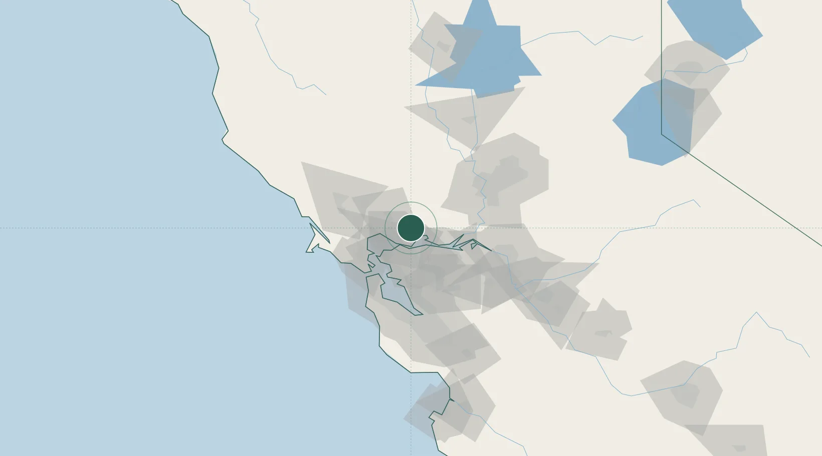
Nearby Logistics Neighbours

Cities
  1. 1Springtown13 km
  2. 2Benicia17 km
  3. 3Port Chicago20 km
  4. 4Oleum21 km
  5. 5Rodeo23 km
Nearest neighbours — logibook spatial index (haversine) over the source coordinates
Ports
  1. 1Mare Island16 km
  2. 2South Vallejo17 km
  3. 3Benicia17 km
  4. 4Port Costa17 km
  5. 5Crockett18 km
Nearest neighbours — logibook spatial index (haversine) over the source coordinates
Airports
  1. 1Travis Air Force Base19 km
  2. 2Buchanan Field24 km
  3. 3San Francisco Bay Oakland International Airport54 km
  4. 4Sacramento Executive Airport66 km
  5. 5San Francisco International Airport68 km
Nearest neighbours — logibook spatial index (haversine) over the source coordinates
Trade Zones
  1. 1FTZ No. 056 Oakland46 km
  2. 2FTZ No. 003 San Francisco50 km
  3. 3FTZ No. 143 West Sacramento68 km
  4. 4FTZ No. 231 Stockton76 km
  5. 5FTZ No. 018 San Jose98 km
Nearest neighbours — logibook spatial index (haversine) over the source coordinates
DatabookThe Record of Consolidated Knowledge
United States beyond logistics?
Browse databook

All Sources

LocationsUN/LOCODE
UN/LOCODE — free
Portsthe NGA World Port Index
Public domain (US gov)
AirportsOurAirports
Public domain
Trade Zonesthe World Bank SEZ database
CC BY 4.0
Trade ZonesOpen Zone Map
CC BY
← United States locations