UN/LOCODE hub · United States
USDP5
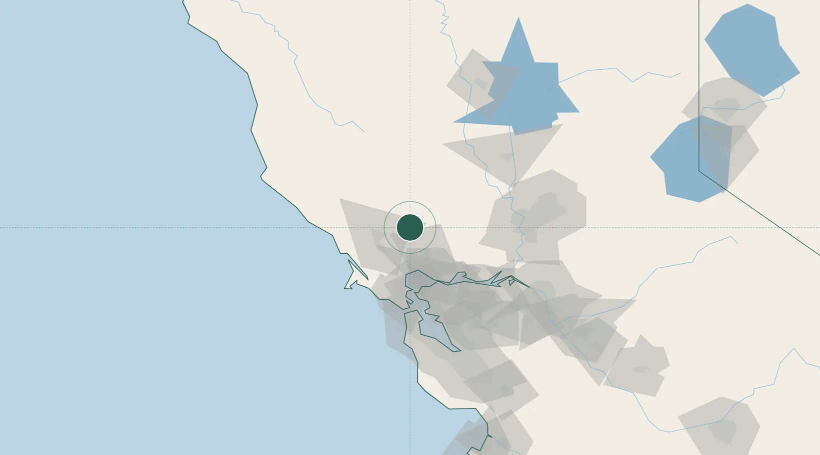
Deer Park
38.5167°, -122.4667°
1,267
Population
2
Transport functions
Transport Functions
Port
Road
Hub Profile
Place type
Populated place
Region
California
Population
1,267
Time zone
America/Los_Angeles
Elevation
173 m
Location
Nearby Logistics Neighbours
Ports
- 1Mare Island50 km
- 2South Vallejo52 km
- 3Oleum55 km
- 4Bodega Bay55 km
- 5Pinole Point56 km
Airports
Trade Zones
- 1FTZ No. 003 San Francisco80 km
- 2FTZ No. 056 Oakland81 km
- 3FTZ No. 143 West Sacramento82 km
- 4FTZ No. 231 Stockton118 km
- 5FTZ No. 018 San Jose141 km
DatabookThe Record of Consolidated Knowledge
United States beyond logistics?