Transport Functions
Port
Road
Hub Profile
Place type
Populated place
Region
California
Time zone
America/Los_Angeles
Elevation
16 m
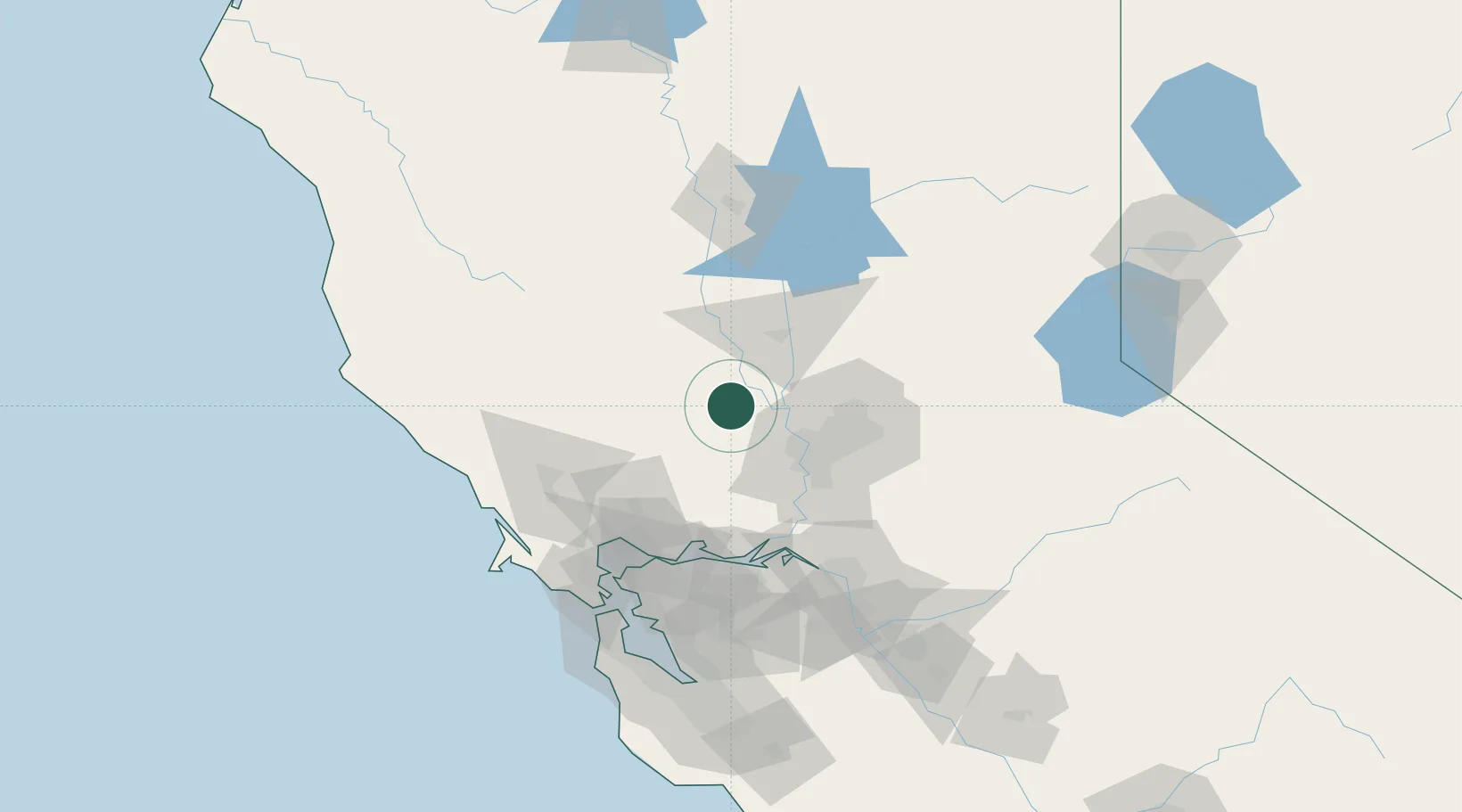
Location
Nearby Logistics Neighbours
Cities
- 1Winters31 km
- 2Grimes32 km
- 3Pleasant Grove33 km
- 4Sacramento35 km
- 5McClellan Air Force Base43 km
Ports
- 1Sacramento39 km
- 2Courtland56 km
- 3Walnut Grove68 km
- 4Rio Vista72 km
- 5Isleton72 km
Airports
- 1Sacramento International Airport26 km
- 2McClellan Airfield42 km
- 3Yuba County Airport43 km
- 4Sacramento Executive Airport44 km
- 5Beale Air Force Base54 km
Trade Zones
- 1FTZ No. 143 West Sacramento37 km
- 2FTZ No. 231 Stockton104 km
- 3FTZ No. 056 Oakland114 km
- 4FTZ No. 003 San Francisco119 km
- 5FTZ No. 018 San Jose161 km
DatabookThe Record of Consolidated Knowledge
United States beyond logistics?