UN/LOCODE hub · United States
USSAC
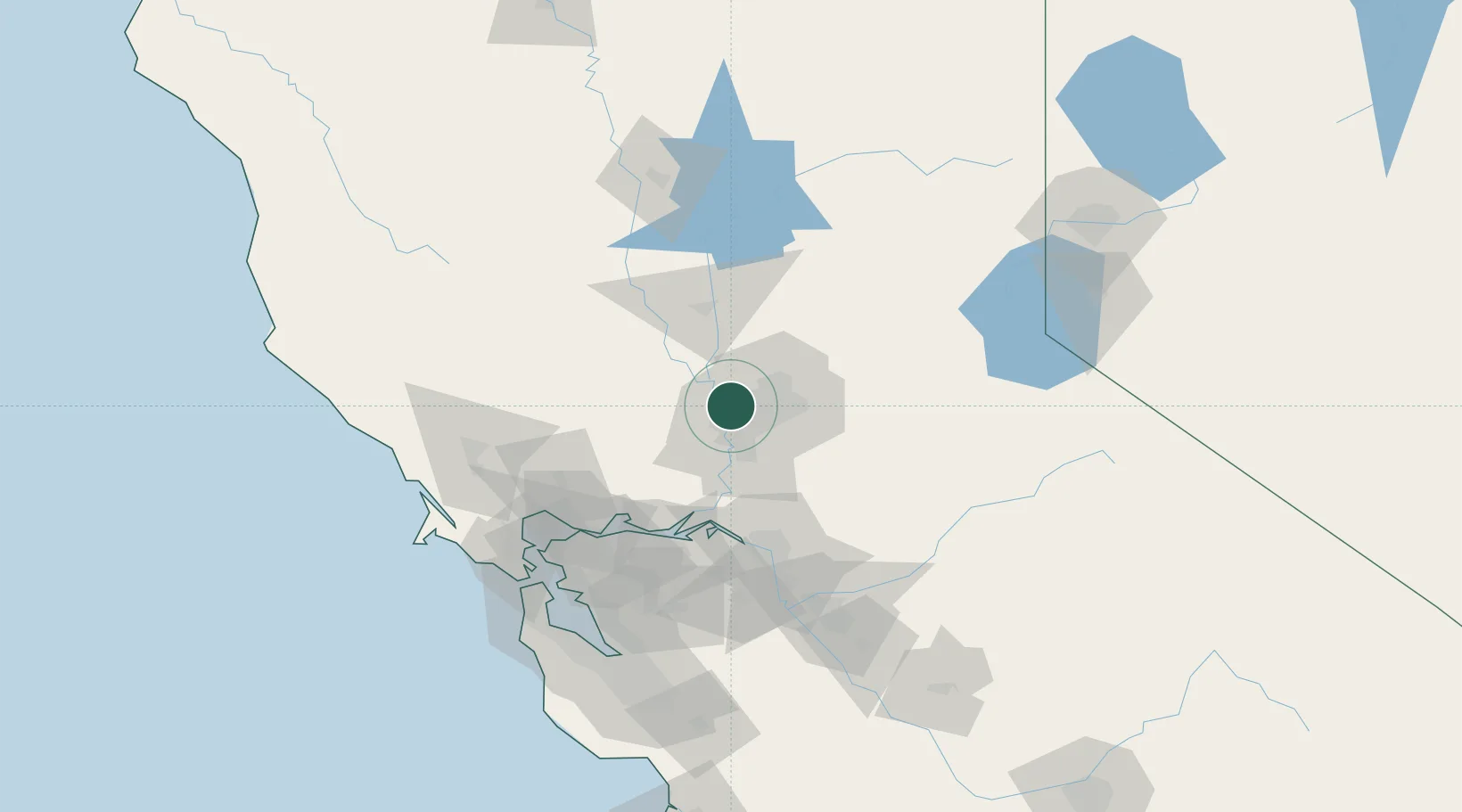
Sacramento
38.6531°, -121.5058°
524,943
Population
2
Transport functions
Transport Functions
Port
Airport
Hub Profile
Place type
Regional capital
Region
California
Population
524,943
Time zone
America/Los_Angeles
Elevation
9 m
Logistics facilities
1
Location
Nearby Logistics Neighbours
Cities
- 1McClellan Air Force Base9 km
- 2Pleasant Grove18 km
- 3Gold River22 km
- 4Orangevale25 km
- 5Granite Bay32 km
Ports
- 1Courtland36 km
- 2Walnut Grove47 km
- 3Isleton55 km
- 4Rio Vista58 km
- 5Antioch75 km
Airports
Trade Zones
- 1FTZ No. 143 West Sacramento8 km
- 2FTZ No. 231 Stockton80 km
- 3FTZ No. 056 Oakland116 km
- 4FTZ No. 003 San Francisco123 km
- 5FTZ No. 018 San Jose150 km
DatabookThe Record of Consolidated Knowledge
United States beyond logistics?