Transport Functions
Port
Road
Hub Profile
Place type
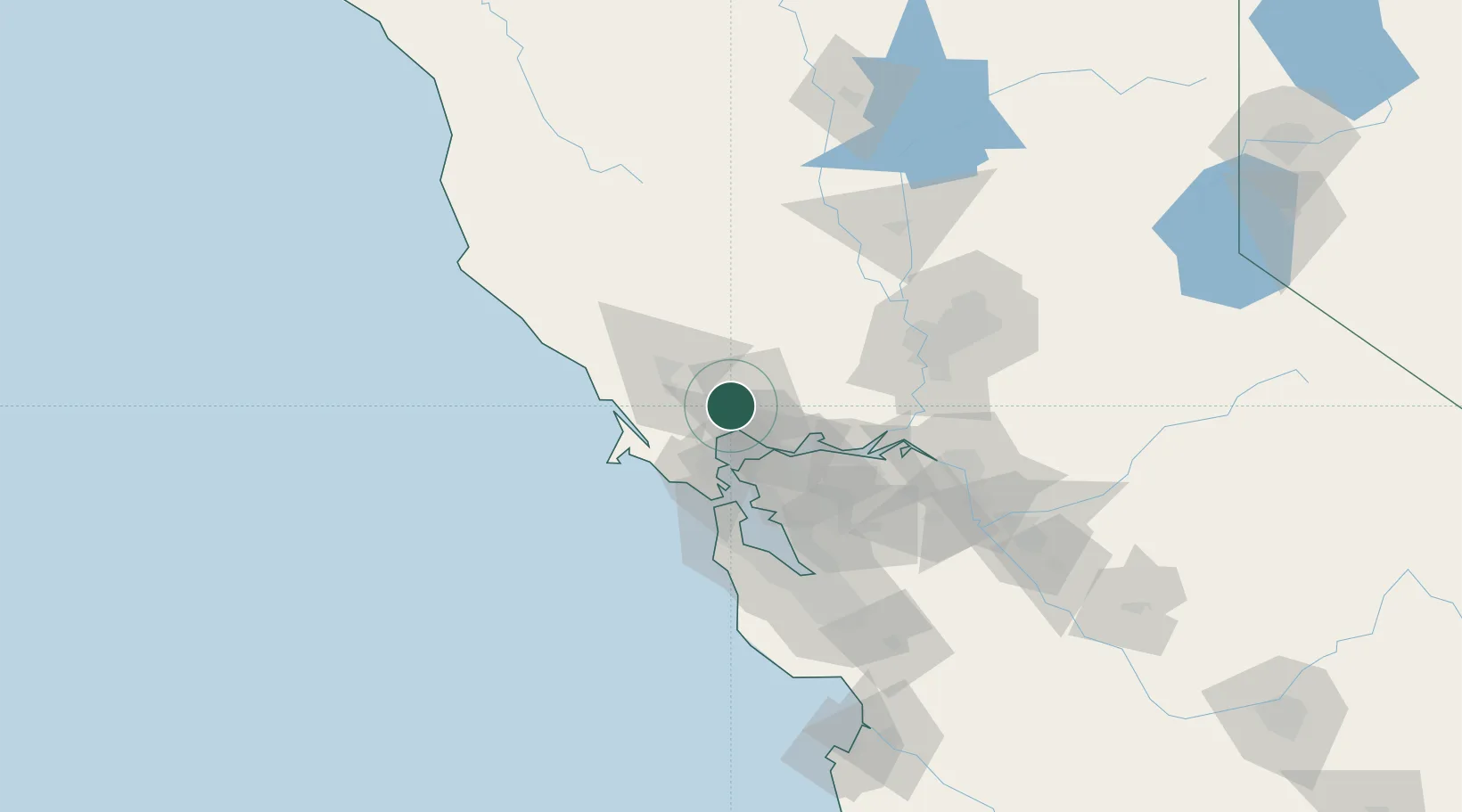
Populated place
Region
California
Time zone
America/Los_Angeles
Elevation
16 m
Location
Nearby Logistics Neighbours
Cities
- 1Kenwood17 km
- 2Penngrove19 km
- 3Cotati24 km
- 4Springtown24 km
- 5Cordelia27 km
Ports
- 1Mare Island24 km
- 2South Vallejo26 km
- 3Oleum28 km
- 4Pinole Point28 km
- 5Crockett31 km
Airports
Trade Zones
- 1FTZ No. 003 San Francisco52 km
- 2FTZ No. 056 Oakland53 km
- 3FTZ No. 143 West Sacramento87 km
- 4FTZ No. 231 Stockton103 km
- 5FTZ No. 018 San Jose114 km
DatabookThe Record of Consolidated Knowledge
United States beyond logistics?