Transport Functions
Multimodal
Hub Profile
Place type
Populated place
Region
Nevada
Time zone
America/Los_Angeles
Elevation
1,221 m
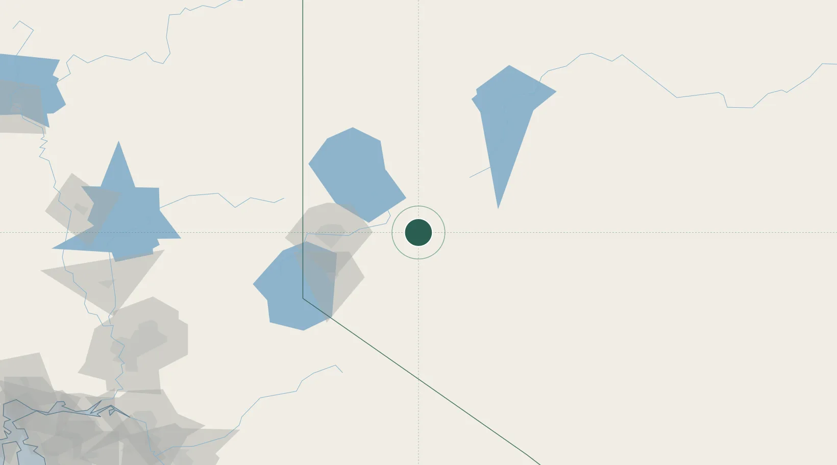
Location
Nearby Logistics Neighbours
Cities
- 1McCarran59 km
- 2Mound House67 km
- 3Reno-Stead74 km
- 4Incline Village88 km
- 5Gardnerville92 km
Ports
- 1Sacramento239 km
- 2Courtland258 km
- 3Walnut Grove260 km
- 4Stockton265 km
- 5Isleton270 km
Airports
- 1Fallon Naval Air Station32 km
- 2Reno Tahoe International Airport63 km
- 3Derby Field70 km
- 4Carson Airport72 km
- 5Truckee Tahoe Airport99 km
Trade Zones
- 1FTZ No. 126 Sparks65 km
- 2FTZ No. 143 West Sacramento240 km
- 3FTZ No. 231 Stockton267 km
- 4FTZ No. 226 Merced, Madera and Fresno Counties280 km
- 5FTZ No. 056 Oakland342 km
DatabookThe Record of Consolidated Knowledge
United States beyond logistics?