Transport Functions
Rail
Road
Multimodal
Hub Profile
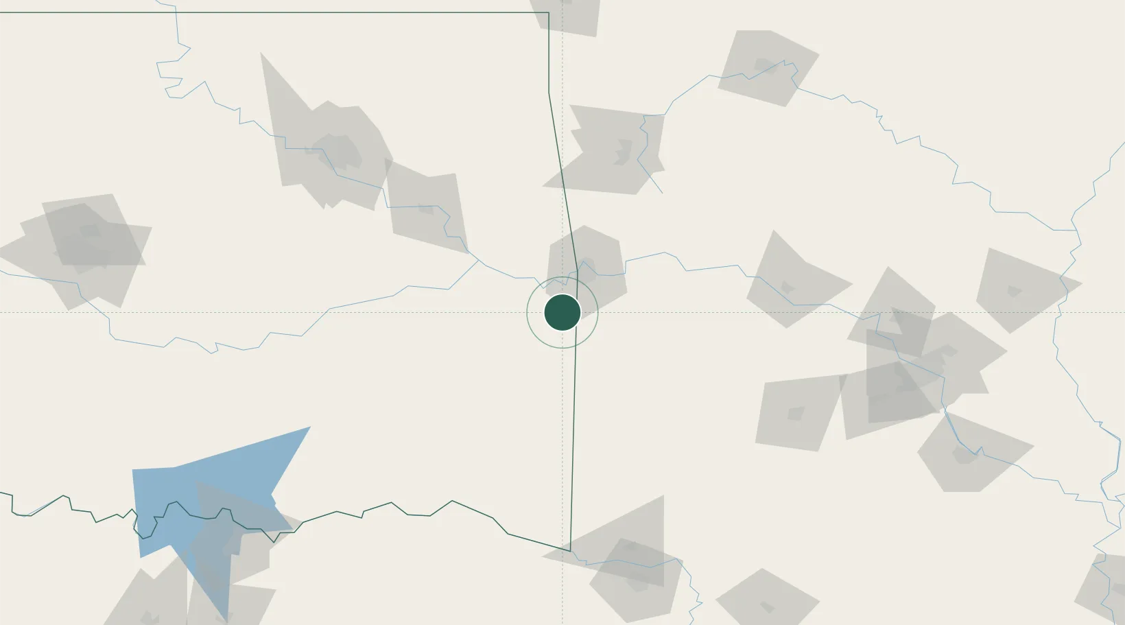
Place type
Populated place
Region
Oklahoma
Population
293
Time zone
America/Chicago
Elevation
148 m
Location
Nearby Logistics Neighbours
Cities
- 1Howe22 km
- 2Mansfield27 km
- 3Greenwood, Sebastian27 km
- 4Barling29 km
- 5Muldrow30 km
Ports
- 1Port Of Memphis397 km
- 2Lake Charles560 km
- 3Beaumont563 km
- 4Orange567 km
- 5Port Neches573 km
Airports
- 1Fort Smith Regional Airport27 km
- 2Drake Field102 km
- 3Mc Alester Regional Airport117 km
- 4Northwest Arkansas National Airport129 km
- 5Memorial Field Airport150 km
Trade Zones
- 1FTZ No. 164 Muskogee106 km
- 2FTZ No. 053 Rogers County179 km
- 3FTZ No. 258 Bowie County185 km
- 4FTZ No. 227 Durant212 km
- 5FTZ No. 014 Little Rock219 km
DatabookThe Record of Consolidated Knowledge
United States beyond logistics?