UN/LOCODE hub · United States
USXMW
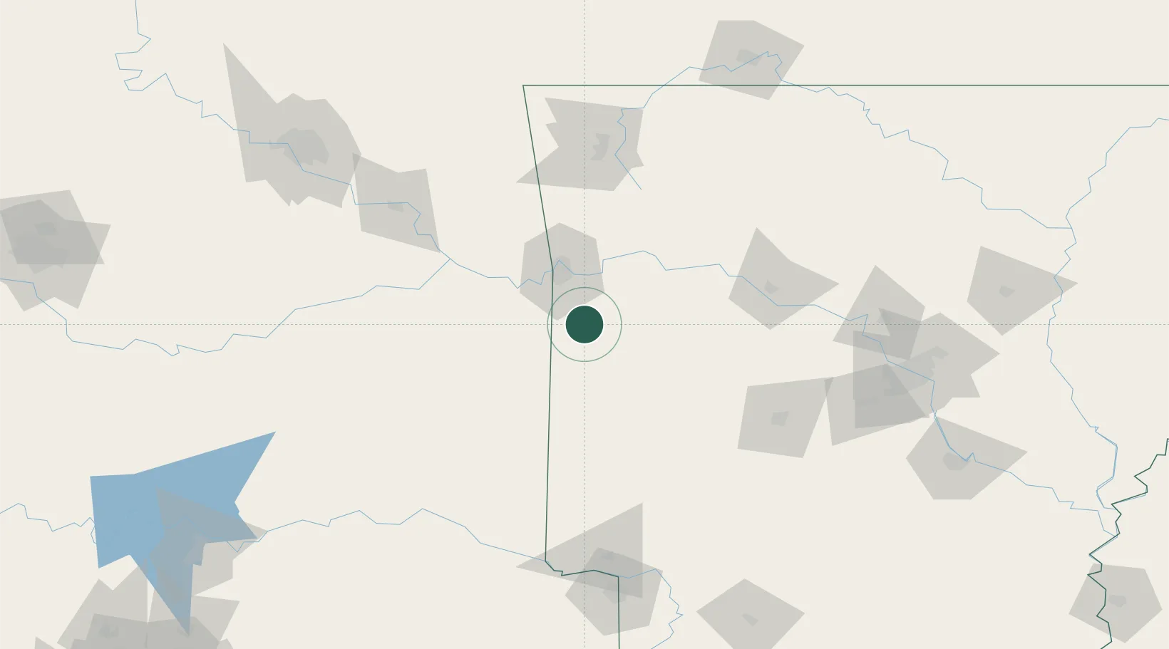
Mansfield
35.0667°, -94.2500°
1,096
Population
2
Transport functions
Transport Functions
Rail
Road
Hub Profile
Place type
Populated place
Region
Arkansas
Population
1,096
Time zone
America/Chicago
Elevation
186 m
Location
Nearby Logistics Neighbours
Cities
- 1Greenwood, Sebastian17 km
- 2Cameron27 km
- 3Barling28 km
- 4Lavaca31 km
- 5Charleston31 km
Ports
- 1Port Of Memphis372 km
- 2Lake Charles547 km
- 3Beaumont554 km
- 4Orange556 km
- 5Port Neches564 km
Airports
- 1Fort Smith Regional Airport32 km
- 2Drake Field105 km
- 3Memorial Field Airport124 km
- 4Northwest Arkansas National Airport135 km
- 5Mc Alester Regional Airport141 km
Trade Zones
- 1FTZ No. 164 Muskogee131 km
- 2FTZ No. 258 Bowie County181 km
- 3FTZ No. 014 Little Rock192 km
- 4FTZ No. 053 Rogers County202 km
- 5FTZ No. 227 Durant229 km
DatabookThe Record of Consolidated Knowledge
United States beyond logistics?