UN/LOCODE hub · United States
USRXI
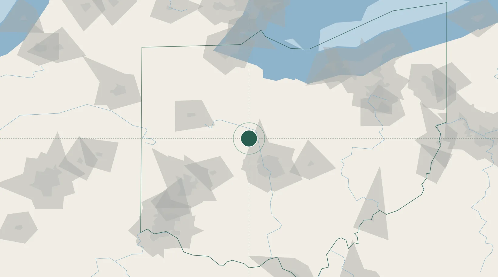
Richwood
40.4167°, -83.3000°
2,281
Population
2
Transport functions
Transport Functions
Rail
Road
Hub Profile
Place type
Populated place
Region
Ohio
Population
2,281
Time zone
America/New_York
Elevation
290 m
Location
Nearby Logistics Neighbours
Cities
- 1Pickerington8 km
- 2Haynesville13 km
- 3Raymond17 km
- 4Waldo20 km
- 5Horton22 km
Ports
- 1Sandusky125 km
- 2Port Clinton126 km
- 3Huron126 km
- 4Vermilion138 km
- 5Put In Bay143 km
Airports
Trade Zones
- 1FTZ No. 138 Franklin County74 km
- 2FTZ No. 151 Findlay77 km
- 3FTZ No. 100 Dayton108 km
- 4FTZ No. 054 Clinton County117 km
- 5FTZ No. 008 Toledo139 km
DatabookThe Record of Consolidated Knowledge
United States beyond logistics?