Transport Functions
Rail
Road
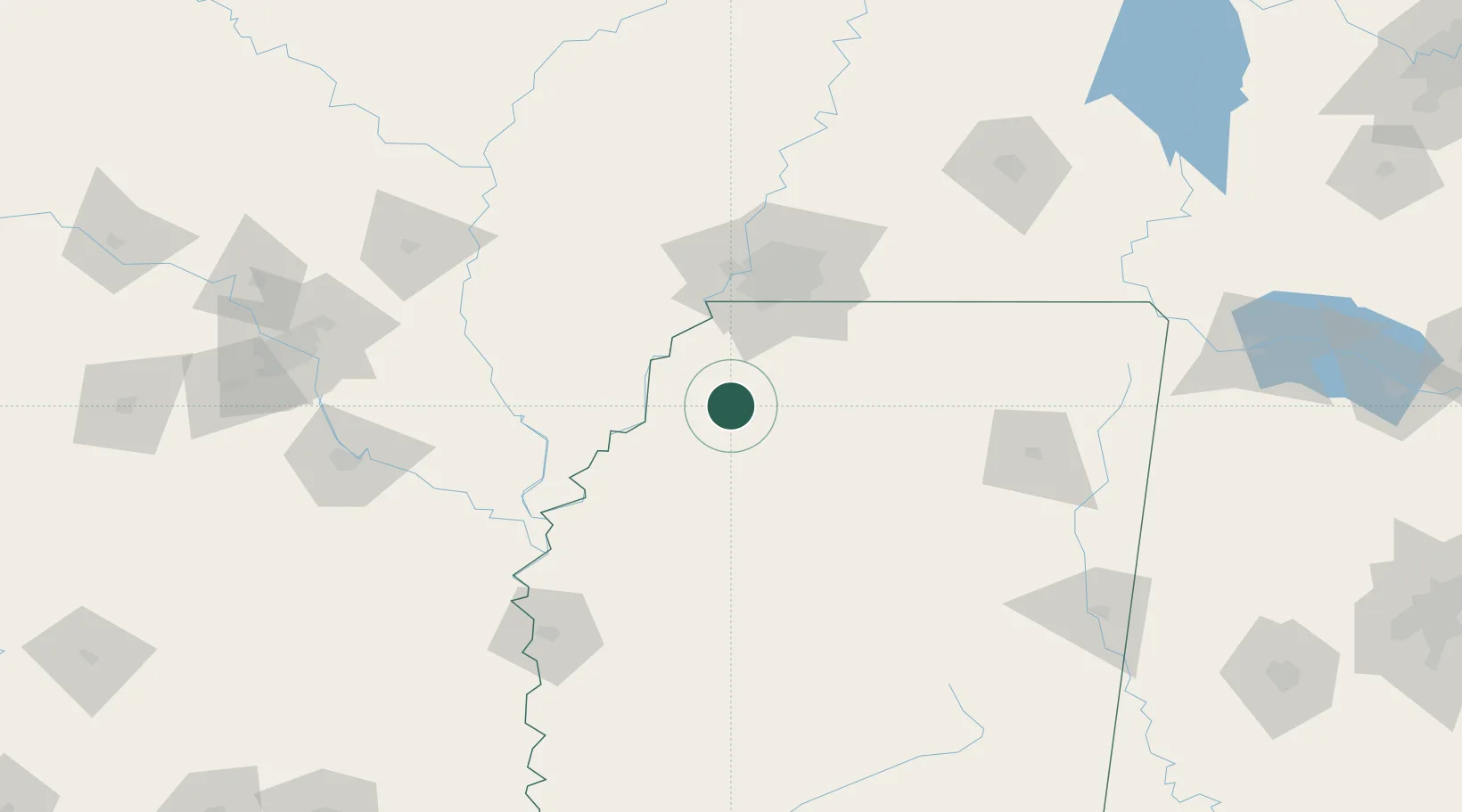
Hub Profile
Place type
Populated place
Region
Mississippi
Population
857
Time zone
America/Chicago
Elevation
56 m
Location
Nearby Logistics Neighbours
Cities
- 1Tunica26 km
- 2Coldwater30 km
- 3Nesbit44 km
- 4Barton52 km
- 5Southhaven54 km
Ports
- 1Port Of Memphis63 km
- 2Madisonville456 km
- 3Baton Rouge460 km
- 4Mobile466 km
- 5Slidell472 km
Airports
- 1University Oxford Airport61 km
- 2Memphis International Airport63 km
- 3Millington-Memphis Airport99 km
- 4Greenwood–Leflore Airport112 km
- 5Tupelo Regional Airport132 km
Trade Zones
- 1FTZ No. 287 Tunica County48 km
- 2FTZ No. 262 Southaven52 km
- 3FTZ No. 077 Memphis70 km
- 4FTZ No. 223 Memphis70 km
- 5FTZ No. 273 West Memphis72 km
DatabookThe Record of Consolidated Knowledge
United States beyond logistics?