UN/LOCODE hub · United States
USWVA
Water Valley
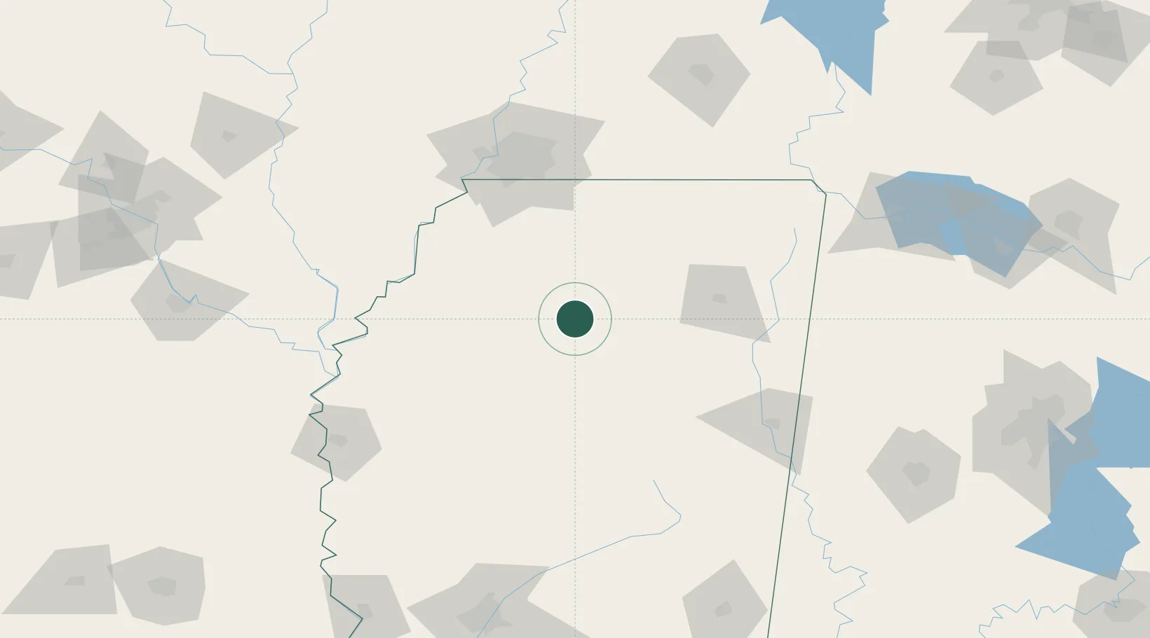
34.1500°, -89.6167°
3,380
Population
4
Transport functions
Transport Functions
Port
Rail
Road
Multimodal
Hub Profile
Place type
Populated place
Region
Mississippi
Population
3,380
Time zone
America/Chicago
Elevation
89 m
Location
Nearby Logistics Neighbours
Cities
- 1Bruce30 km
- 2Charleston43 km
- 3East Prairie46 km
- 4Crenshaw65 km
- 5Hickory Flat, Benton65 km
Ports
- 1Port Of Memphis114 km
- 2Mobile410 km
- 3Madisonville420 km
- 4Biloxi425 km
- 5Gulfport426 km
Airports
- 1University Oxford Airport27 km
- 2Tupelo Regional Airport79 km
- 3Greenwood–Leflore Airport85 km
- 4Memphis International Airport105 km
- 5Columbus Air Force Base122 km
Trade Zones
- 1FTZ No. 262 Southaven97 km
- 2FTZ No. 287 Tunica County112 km
- 3FTZ No. 223 Memphis118 km
- 4FTZ No. 273 West Memphis123 km
- 5FTZ No. 077 Memphis123 km
DatabookThe Record of Consolidated Knowledge
United States beyond logistics?