Transport Functions
Rail
Road
Hub Profile
Place type
Populated place
Region
Mississippi
Population
1,906
Time zone
America/Chicago
Elevation
84 m
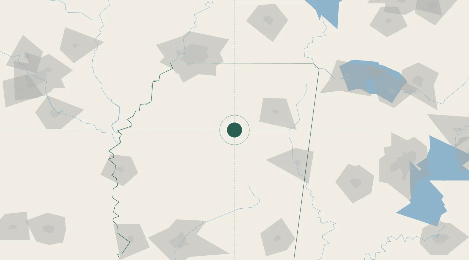
Location
Nearby Logistics Neighbours
Cities
- 1East Prairie24 km
- 2Water Valley30 km
- 3Hickory Flat, Chicasaw43 km
- 4Furrs52 km
- 5Eupora53 km
Ports
- 1Port Of Memphis140 km
- 2Mobile387 km
- 3Biloxi405 km
- 4Gulfport407 km
- 5Madisonville407 km
Airports
Trade Zones
- 1FTZ No. 262 Southaven123 km
- 2FTZ No. 287 Tunica County142 km
- 3FTZ No. 223 Memphis144 km
- 4FTZ No. 273 West Memphis149 km
- 5FTZ No. 077 Memphis150 km
DatabookThe Record of Consolidated Knowledge
United States beyond logistics?