Medium airport · United States

Miles City Airport - Frank Wiley FieldKMLS

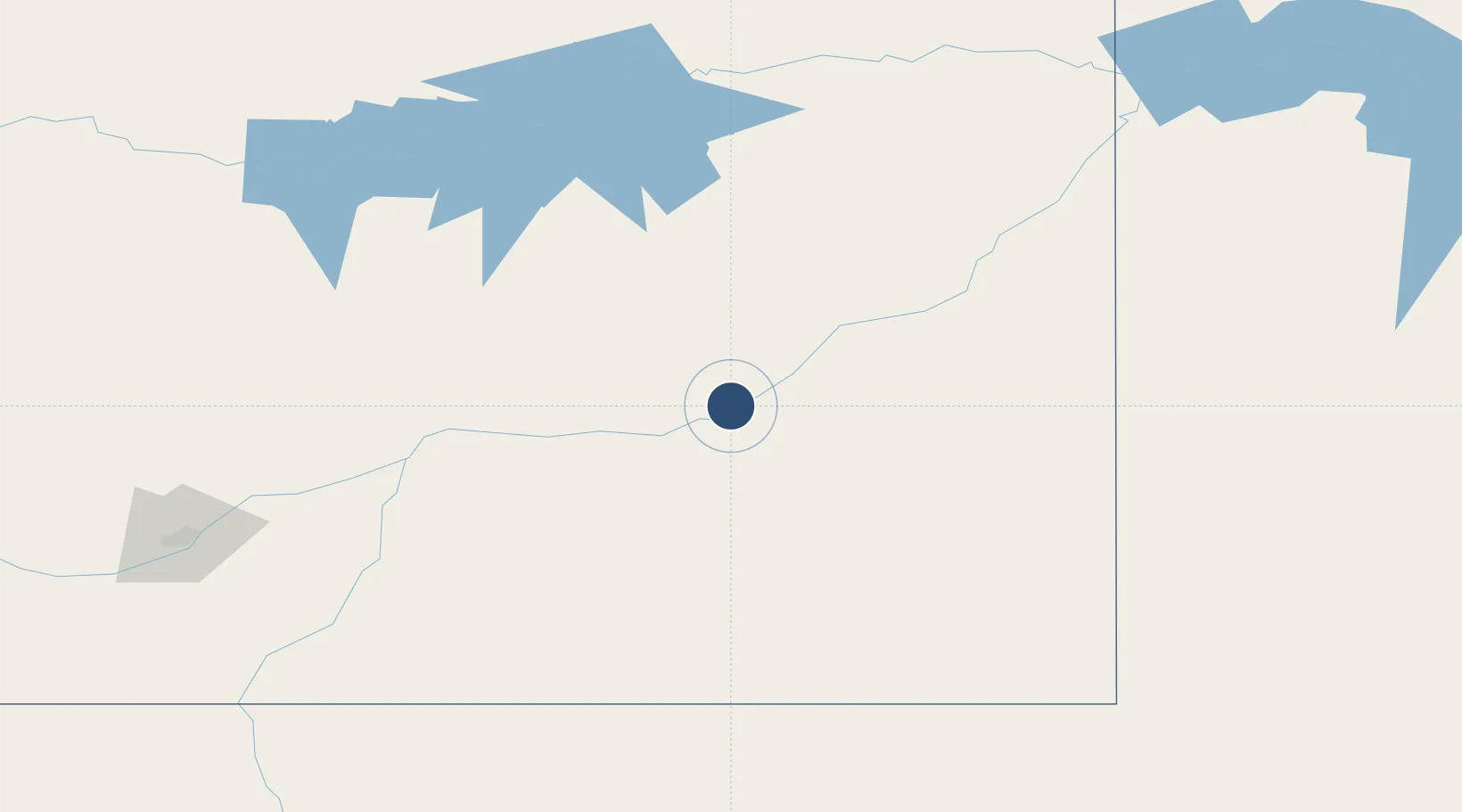
46.4273°, -105.8854°
5,764 ft
Longest runway
2
Runways
2,630 ft
Elevation

Runway & Layout

Miles City Airport - Frank Wiley Field runway & taxiway layout
Runway & taxiway layout — OpenStreetMap (ODbL) / OurAirports

Radio Frequencies

ASOS
135.575 MHz
RDO
122.2 MHz
GREAT FALLS RDO
UNIC
123 MHz
CTAF/UNICOM
OurAirports

Navaids

HTN NDB Horton 320 kHz
MLS VORTAC Miles City 112.10 MHz
OurAirports

Runways · 2

RunwayDimensions SurfaceTrue headingLit
04/22 5,764 × 75ft Asphalt 052°
13/31 5,624 × 100ft Asphalt 135°
OurAirports

Airport Specifications

IATA code
MLS
OurAirports
ICAO code
KMLS
OurAirports
Airport class
Medium airport
OurAirports
Scheduled service
No
OurAirports
Runway surface
Asphalt
OurAirports
Served city
Miles City
OurAirports

Location

Location of KMLS
Natural Earth 10m (public domain) · Montana · KMLS · 46.43, -105.89GoogleOSMYandex

Nearby Logistics Neighbours

Airports
  1. 1Dawson Community Airport114 km
  2. 2L M Clayton Airport187 km
  3. 3Sidney - Richland Regional Airport191 km
  4. 4Sheridan County Airport203 km
  5. 5Glasgow Valley County Airport Wokal Field206 km
Nearest neighbours — logibook spatial index (haversine) over the source coordinates
Cities
  1. 1Granby150 km
  2. 2Beach154 km
  3. 3Hardin154 km
  4. 4Savage163 km
  5. 5Fryburg203 km
Nearest neighbours — logibook spatial index (haversine) over the source coordinates
Ports
  1. 1Duluth1053 km
  2. 2Superior1055 km
  3. 3Two Harbors1086 km
  4. 4Washburn1146 km
  5. 5Ashland1148 km
Nearest neighbours — logibook spatial index (haversine) over the source coordinates
Trade Zones
  1. 1FTZ No. 088 Great Falls438 km
  2. 2Global Transportation Hub Authority455 km
  3. 3FTZ No. 275 Lansing514 km
  4. 4FTZ No. 187 Toole County539 km
  5. 5FTZ No. 274 Butte-Silver Bow545 km
Nearest neighbours — logibook spatial index (haversine) over the source coordinates
DatabookThe Record of Consolidated Knowledge
United States beyond logistics?
Browse databook

All Sources

AirportsOurAirports
Public domain
Portsthe NGA World Port Index
Public domain (US gov)
LocationsUN/LOCODE
UN/LOCODE — free
Trade Zonesthe World Bank SEZ database
CC BY 4.0
Trade ZonesOpen Zone Map
CC BY
InfrastructureOpenStreetMap
ODbL 1.0
← United States airports