Transport Functions
Rail
Road
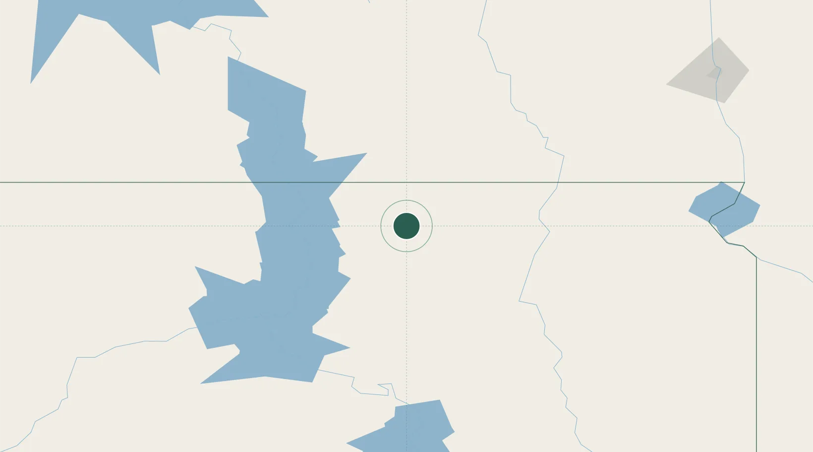
Hub Profile
Place type
Populated place
Region
South Dakota
Population
203
Time zone
America/Chicago
Elevation
581 m
Location
Nearby Logistics Neighbours
Ports
- 1Duluth583 km
- 2Superior584 km
- 3Two Harbors622 km
- 4Washburn673 km
- 5Ashland673 km
Airports
- 1Mobridge Municipal Airport73 km
- 2Aberdeen Regional Airport83 km
- 3Pierre Regional Airport147 km
- 4Jamestown Regional Airport163 km
- 5Huron Regional Airport164 km
Trade Zones
- 1FTZ No. 267 Fargo240 km
- 2FTZ No. 220 Sioux Falls308 km
- 3FTZ No. 103 Grand Forks314 km
- 4FTZ No. 288 Northwest Iowa380 km
- 5FTZ No. 119 Minneapolis-St. Paul492 km
DatabookThe Record of Consolidated Knowledge
United States beyond logistics?