Transport Functions
Road
Multimodal
Hub Profile
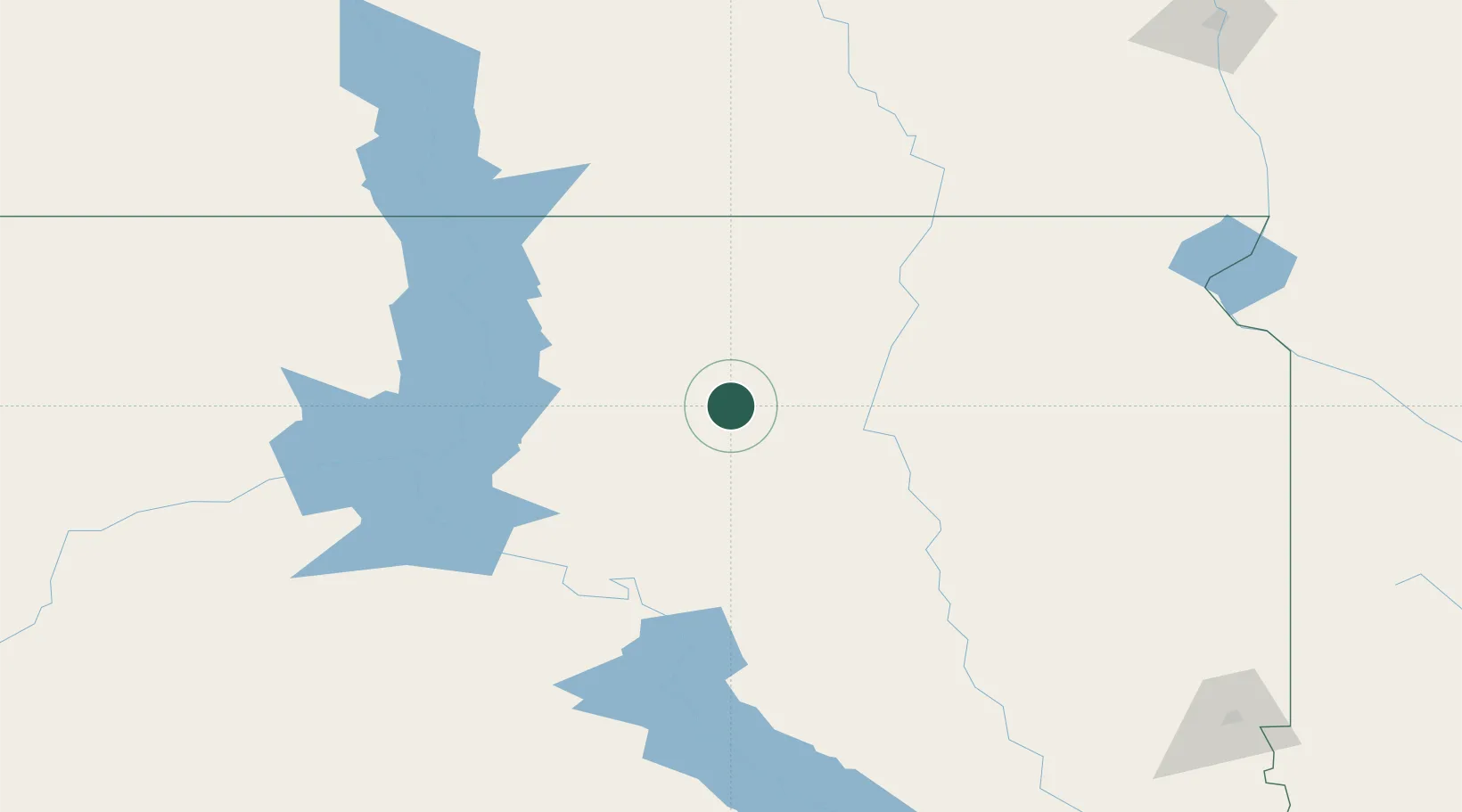
Place type
Provincial seat
Region
South Dakota
Population
740
Time zone
America/Chicago
Elevation
482 m
Location
Nearby Logistics Neighbours
Ports
- 1Duluth577 km
- 2Superior579 km
- 3Two Harbors618 km
- 4Ashland664 km
- 5Washburn664 km
Airports
- 1Aberdeen Regional Airport72 km
- 2Huron Regional Airport102 km
- 3Mobridge Municipal Airport115 km
- 4Pierre Regional Airport116 km
- 5Watertown Regional Airport156 km
Trade Zones
- 1FTZ No. 220 Sioux Falls249 km
- 2FTZ No. 267 Fargo263 km
- 3FTZ No. 288 Northwest Iowa321 km
- 4FTZ No. 103 Grand Forks354 km
- 5FTZ No. 119 Minneapolis-St. Paul464 km
DatabookThe Record of Consolidated Knowledge
United States beyond logistics?