UN/LOCODE hub · United States
USKKZ
Kirkland
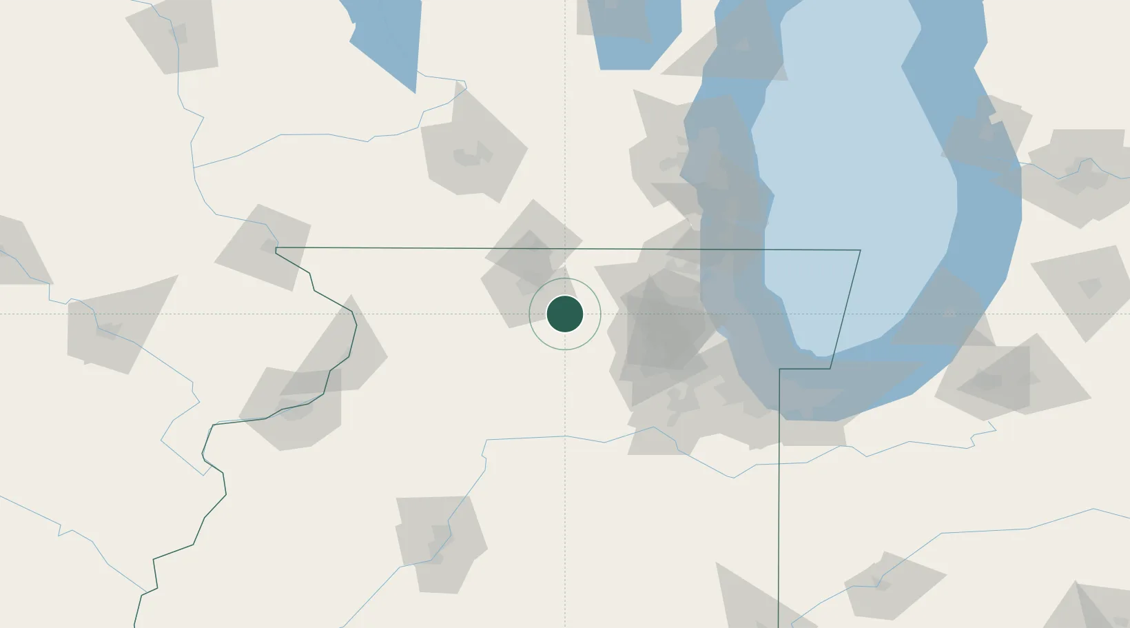
42.1000°, -88.8500°
1,734
Population
2
Transport functions
Transport Functions
Rail
Road
Hub Profile
Place type
Populated place
Region
Illinois
Population
1,734
Time zone
America/Chicago
Elevation
234 m
Location
Nearby Logistics Neighbours
Cities
- 1Clare9 km
- 2Lindenwood15 km
- 3Davis Junction19 km
- 4Holcomb20 km
- 5DeKalb24 km
Ports
- 1Great Lakes87 km
- 2Waukegan90 km
- 3Wilmette96 km
- 4Kenosha101 km
- 5Chicago106 km
Airports
Trade Zones
- 1FTZ No. 176 Rockford34 km
- 2FTZ No. 292 Lake County83 km
- 3FTZ No. 022 Chicago86 km
- 4FTZ No. 271 Jo-Daviess and Carroll Counties117 km
- 5FTZ No. 041 Milwaukee123 km
DatabookThe Record of Consolidated Knowledge
United States beyond logistics?