Transport Functions
Port
Road
Hub Profile
Place type
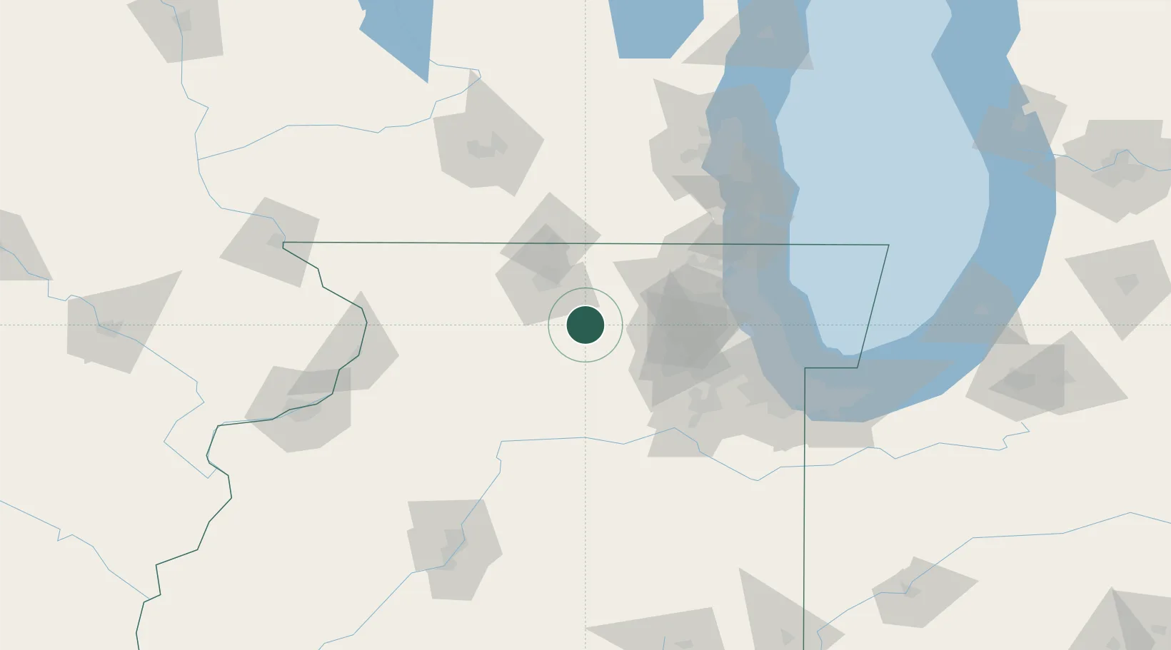
Populated place
Region
Illinois
Time zone
America/Chicago
Elevation
265 m
Location
Nearby Logistics Neighbours
Cities
- 1Kirkland9 km
- 2DeKalb15 km
- 3Lindenwood16 km
- 4Cortland17 km
- 5Holcomb21 km
Ports
- 1Great Lakes88 km
- 2Waukegan92 km
- 3Wilmette95 km
- 4Chicago103 km
- 5Kenosha105 km
Airports
Trade Zones
- 1FTZ No. 176 Rockford41 km
- 2FTZ No. 022 Chicago82 km
- 3FTZ No. 292 Lake County85 km
- 4FTZ No. 271 Jo-Daviess and Carroll Counties121 km
- 5FTZ No. 041 Milwaukee130 km
DatabookThe Record of Consolidated Knowledge
United States beyond logistics?