UN/LOCODE hub · United States
USTYY
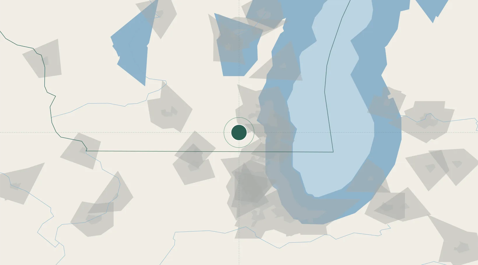
East Troy
42.7833°, -88.4000°
4,295
Population
2
Transport functions
Transport Functions
Port
Road
Hub Profile
Place type
Populated place
Region
Wisconsin
Population
4,295
Time zone
America/Chicago
Elevation
262 m
Location
Nearby Logistics Neighbours
Cities
- 1Honey Creek9 km
- 2Mukwonago11 km
- 3Eagle12 km
- 4Palmyra18 km
- 5Wales24 km
Ports
- 1Milwaukee50 km
- 2Racine51 km
- 3Kenosha53 km
- 4Waukegan67 km
- 5Great Lakes71 km
Airports
Trade Zones
- 1FTZ No. 041 Milwaukee39 km
- 2FTZ No. 292 Lake County66 km
- 3FTZ No. 176 Rockford89 km
- 4FTZ No. 266 Dane County111 km
- 5FTZ No. 022 Chicago114 km
DatabookThe Record of Consolidated Knowledge
United States beyond logistics?