UN/LOCODE hub · United States
USB2O

Brownsboro

34.7333°, -86.4333°
1
Transport functions

Transport Functions

Multimodal
UN/LOCODE

Hub Profile

Place type
Populated place
GeoNames
Region
Alabama
GeoNames
Time zone
America/Chicago
GeoNames
Elevation
190 m
GeoNames

Location

Location of USB2O
Natural Earth 10m (public domain) · Alabama · USB2O · 34.73, -86.43GoogleOSMYandex

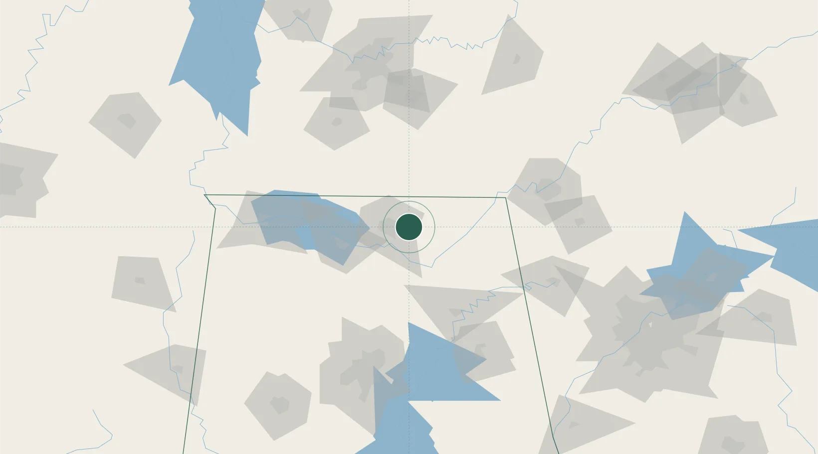
Nearby Logistics Neighbours

Cities
  1. 1Gurley6 km
  2. 2Hillsboro, Madison22 km
  3. 3Rainbow28 km
  4. 4Grant28 km
  5. 5Elora32 km
Nearest neighbours — logibook spatial index (haversine) over the source coordinates
Ports
  1. 1Port Of Memphis343 km
  2. 2Mobile477 km
  3. 3Pensacola487 km
  4. 4Panama City517 km
  5. 5Pascagoula527 km
Nearest neighbours — logibook spatial index (haversine) over the source coordinates
Airports
  1. 1Redstone Army Air Field24 km
  2. 2Huntsville International Airport33 km
  3. 3Northwest Alabama Regional Airport108 km
  4. 4Chattanooga Metropolitan Airport (Lovell Field)117 km
  5. 5Richard B Russell Airport124 km
Nearest neighbours — logibook spatial index (haversine) over the source coordinates
Trade Zones
  1. 1FTZ No. 083 Huntsville32 km
  2. 2FTZ No. 270 Lawrence County45 km
  3. 3FTZ No. 265 Conroe (Montgomery County)49 km
  4. 4FTZ No. 134 Chattanooga104 km
  5. 5FTZ No. 098 Birmingham139 km
Nearest neighbours — logibook spatial index (haversine) over the source coordinates
DatabookThe Record of Consolidated Knowledge
United States beyond logistics?
Browse databook

All Sources

LocationsUN/LOCODE
UN/LOCODE — free
Portsthe NGA World Port Index
Public domain (US gov)
AirportsOurAirports
Public domain
Trade Zonesthe World Bank SEZ database
CC BY 4.0
Trade ZonesOpen Zone Map
CC BY
← United States locations