Transport Functions
Rail
Road
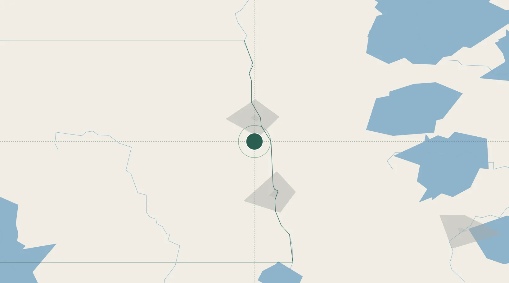
Hub Profile
Place type
Populated place
Region
North Dakota
Population
316
Time zone
America/Chicago
Elevation
284 m
Location
Nearby Logistics Neighbours
Ports
- 1Duluth388 km
- 2Superior391 km
- 3Two Harbors415 km
- 4Washburn480 km
- 5Bayfield482 km
Airports
Trade Zones
- 1FTZ No. 103 Grand Forks36 km
- 2FTZ No. 267 Fargo83 km
- 3FTZ No. 259 Koochiching County220 km
- 4Winnipegs Centreport Canada255 km
- 5FTZ No. 051 Duluth377 km
DatabookThe Record of Consolidated Knowledge
United States beyond logistics?