UN/LOCODE hub · United States
USMA4
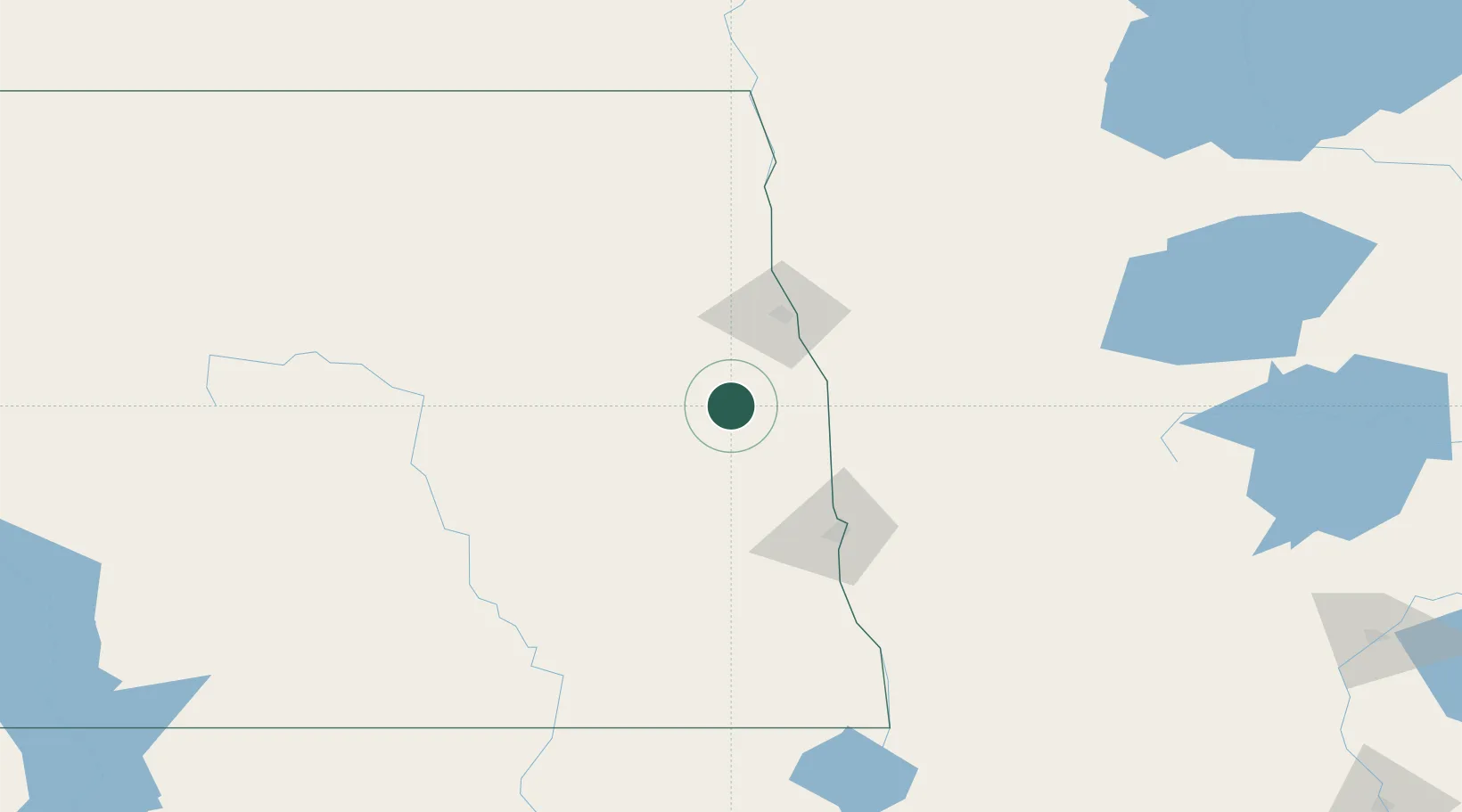
Mayville
47.4833°, -97.3167°
1,829
Population
1
Transport functions
Transport Functions
Multimodal
Hub Profile
Place type
Populated place
Region
North Dakota
Population
1,829
Time zone
America/Chicago
Elevation
296 m
Location
Nearby Logistics Neighbours
Ports
- 1Duluth403 km
- 2Superior406 km
- 3Two Harbors431 km
- 4Washburn495 km
- 5Bayfield497 km
Airports
Trade Zones
- 1FTZ No. 103 Grand Forks49 km
- 2FTZ No. 267 Fargo75 km
- 3FTZ No. 259 Koochiching County241 km
- 4Winnipegs Centreport Canada269 km
- 5FTZ No. 051 Duluth391 km
DatabookThe Record of Consolidated Knowledge
United States beyond logistics?