Transport Functions
Port
Rail
Road
Multimodal
Hub Profile
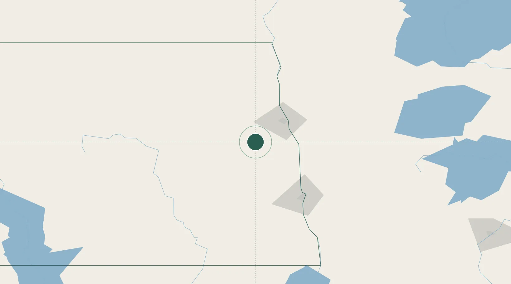
Place type
Populated place
Region
North Dakota
Population
765
Time zone
America/Chicago
Elevation
329 m
Location
Nearby Logistics Neighbours
Cities
- 1Mayville19 km
- 2Buxton28 km
- 3Finley32 km
- 4Larimore33 km
- 5Cooperstown54 km
Ports
- 1Duluth415 km
- 2Superior419 km
- 3Two Harbors442 km
- 4Washburn508 km
- 5Bayfield509 km
Airports
Trade Zones
- 1FTZ No. 103 Grand Forks38 km
- 2FTZ No. 267 Fargo94 km
- 3FTZ No. 259 Koochiching County244 km
- 4Winnipegs Centreport Canada253 km
- 5FTZ No. 051 Duluth404 km
DatabookThe Record of Consolidated Knowledge
United States beyond logistics?