UN/LOCODE hub · United States
USSPB
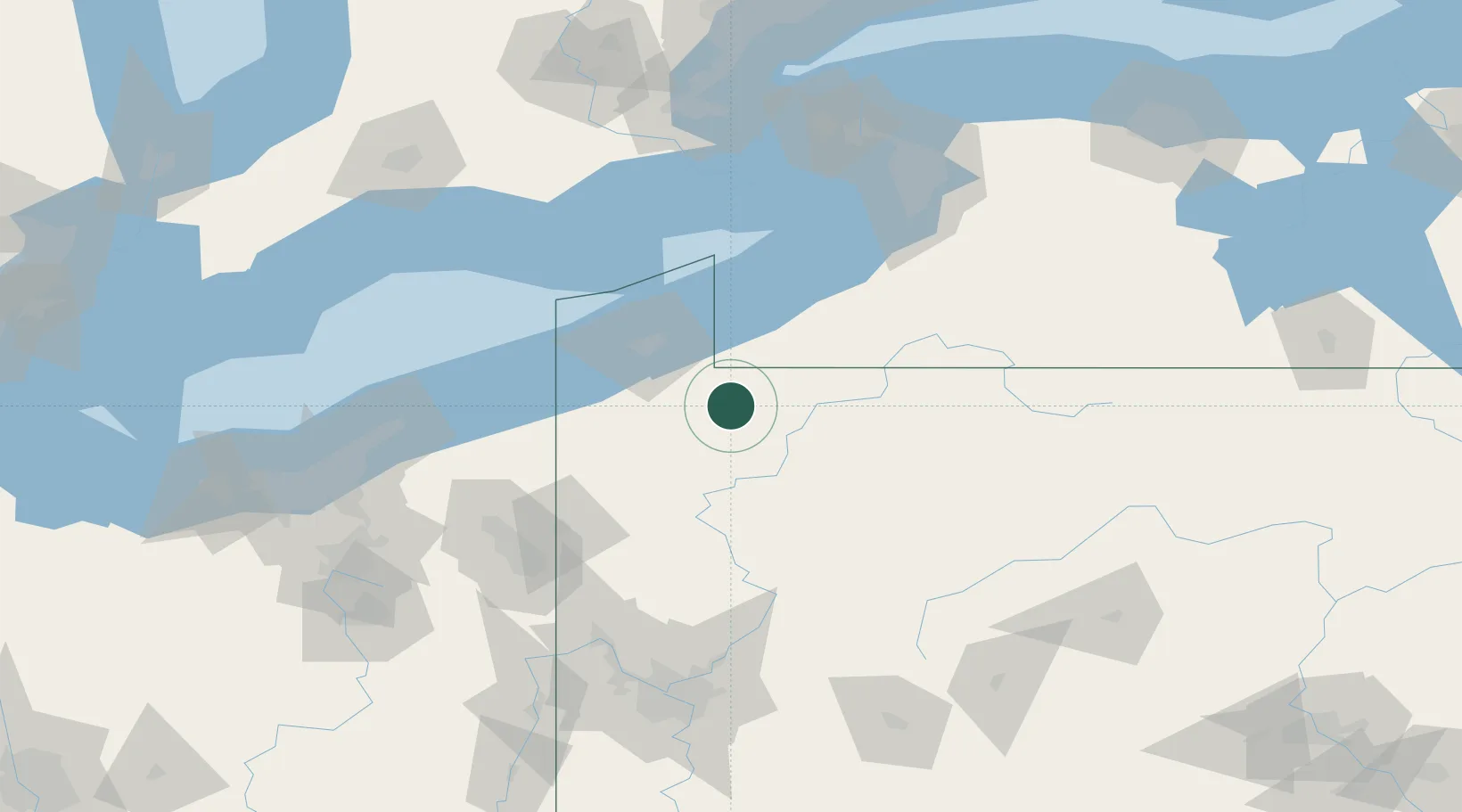
Spartansburg
41.8167°, -79.6833°
299
Population
3
Transport functions
Transport Functions
Rail
Road
Multimodal
Hub Profile
Place type
Populated place
Region
Pennsylvania
Population
299
Time zone
America/New_York
Elevation
442 m
Location
Nearby Logistics Neighbours
Cities
- 1Waterford28 km
- 2Guys Mills32 km
- 3Edinboro36 km
- 4Tionesta42 km
- 5Stow44 km
Ports
- 1Erie51 km
- 2Conneaut74 km
- 3Dunkirk80 km
- 4Ashtabula93 km
- 5Port Maitland115 km
Airports
Trade Zones
- 1FTZ No. 247 Erie48 km
- 2FTZ No. 254 Jefferson County89 km
- 3FTZ No. 295 Central Pennsylvania112 km
- 4FTZ No. 023 Buffalo135 km
- 5Niagara Foreign Trade Zone151 km
DatabookThe Record of Consolidated Knowledge
United States beyond logistics?