UN/LOCODE hub · United States
USFKV
Falkville
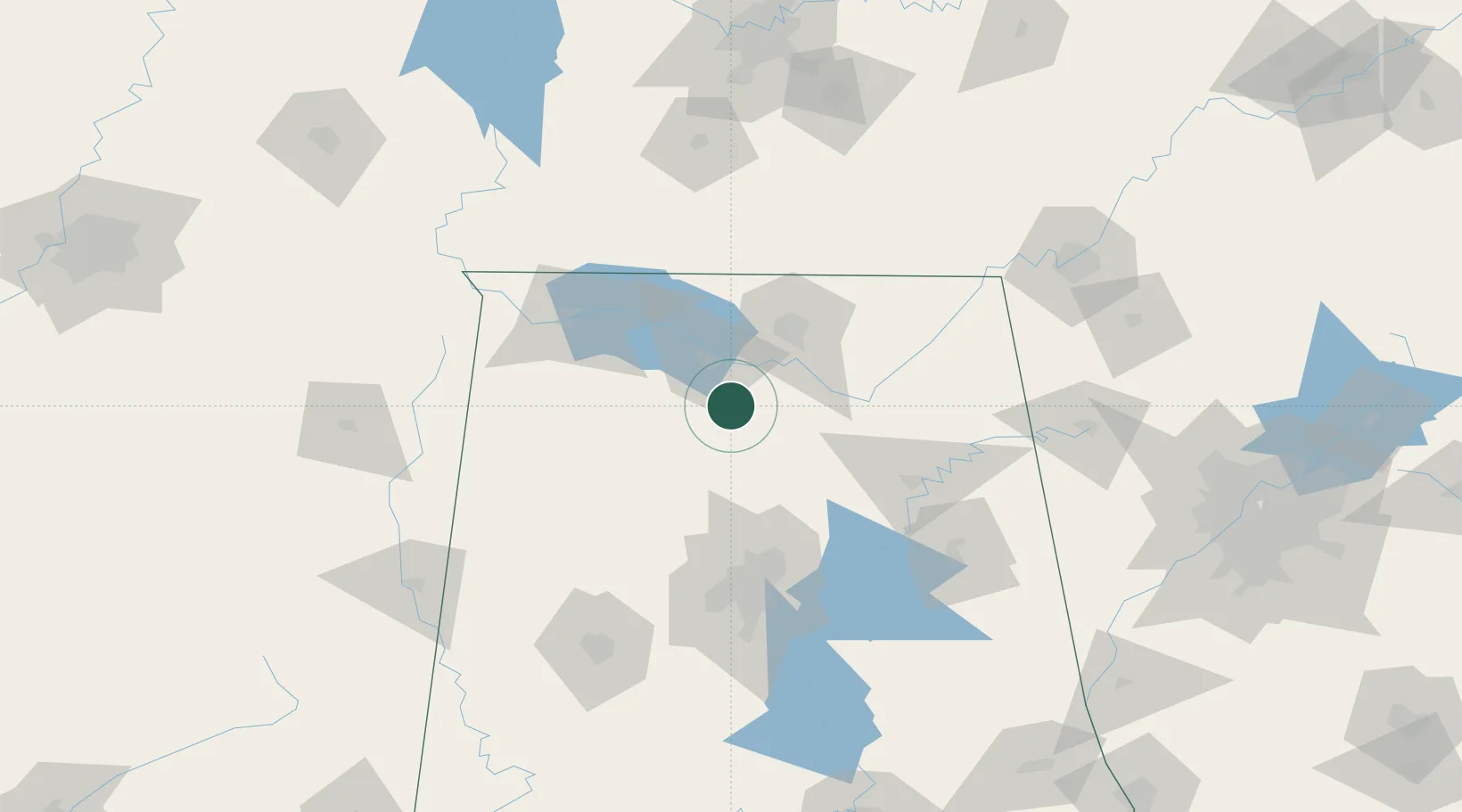
34.3667°, -86.9000°
1,268
Population
3
Transport functions
Transport Functions
Rail
Road
Multimodal
Hub Profile
Place type
Populated place
Region
Alabama
Population
1,268
Time zone
America/Chicago
Elevation
184 m
Location
Nearby Logistics Neighbours
Cities
- 1Georgia10 km
- 2Belle Mina32 km
- 3Hillsboro, Lawrence39 km
- 4Tanner41 km
- 5Garden City41 km
Ports
- 1Port Of Memphis309 km
- 2Mobile425 km
- 3Pensacola442 km
- 4Pascagoula473 km
- 5Biloxi481 km
Airports
Trade Zones
DatabookThe Record of Consolidated Knowledge
United States beyond logistics?