Transport Functions
Road
Multimodal
Hub Profile
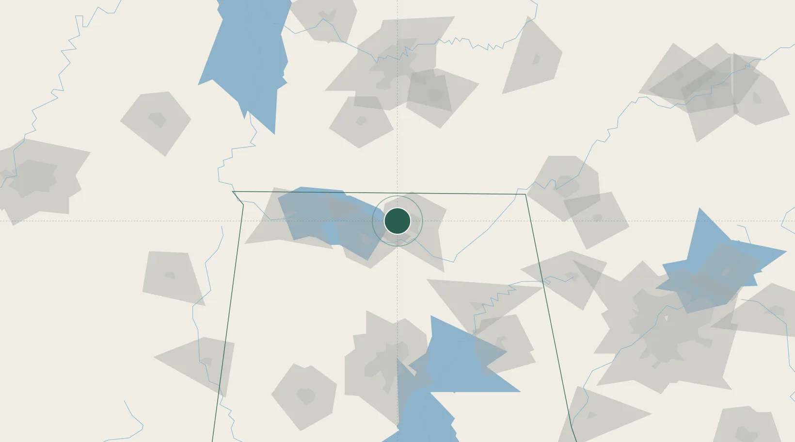
Place type
Populated place
Region
Alabama
Time zone
America/Chicago
Elevation
239 m
Location
Nearby Logistics Neighbours
Cities
- 1Belle Mina17 km
- 2Toney17 km
- 3Tanner21 km
- 4Brownsboro28 km
- 5Ardmore28 km
Ports
- 1Port Of Memphis315 km
- 2Mobile470 km
- 3Pensacola486 km
- 4Pascagoula519 km
- 5Panama City523 km
Airports
Trade Zones
DatabookThe Record of Consolidated Knowledge
United States beyond logistics?