UN/LOCODE hub · United States
USUCU
Columbus
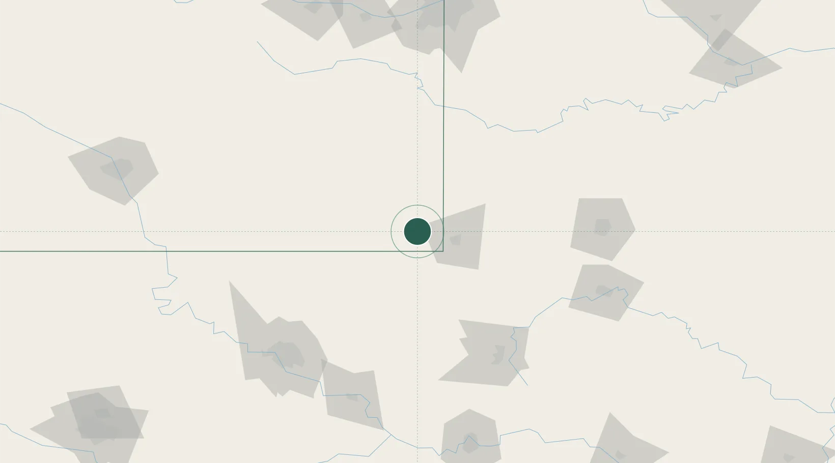
37.1667°, -94.8333°
3,146
Population
2
Transport functions
Transport Functions
Rail
Road
Hub Profile
Place type
Provincial seat
Region
Kansas
Population
3,146
Time zone
America/Chicago
Elevation
278 m
Location
Nearby Logistics Neighbours
Cities
- 1Baxter Springs19 km
- 2Galena20 km
- 3Quapaw25 km
- 4Webb City34 km
- 5Girard39 km
Ports
- 1Port Of Memphis480 km
- 2Lake Charles787 km
- 3Beaumont791 km
- 4Orange794 km
- 5Port Neches801 km
Airports
Trade Zones
- 1FTZ No. 053 Rogers County130 km
- 2FTZ No. 225 Springfield149 km
- 3FTZ No. 164 Muskogee169 km
- 4FTZ No. 015 Kansas City186 km
- 5FTZ No. 017 Kansas City214 km
DatabookThe Record of Consolidated Knowledge
United States beyond logistics?