UN/LOCODE hub · United States
USBNA
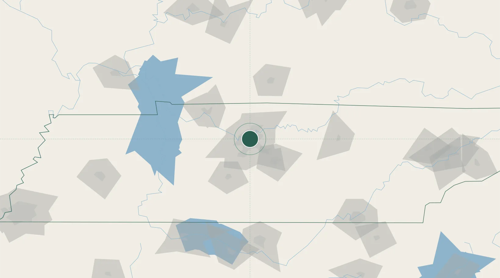
Nashville
36.1598°, -86.7469°
689,447
Population
2
Transport functions
Transport Functions
Port
Airport
Hub Profile
Place type
Regional capital
Region
Tennessee
Population
689,447
Time zone
America/Chicago
Elevation
170 m
Logistics facilities
29
Location
Nearby Logistics Neighbours
Cities
- 1Hermitage13 km
- 2Mount Juliet21 km
- 3Greenbrier, Robertson29 km
- 4Kingston Springs34 km
- 5White House35 km
Ports
- 1Port Of Memphis332 km
- 2Gary609 km
- 3Indiana Harbor615 km
- 4Michigan City620 km
- 5Calumet Harbor623 km
Airports
Trade Zones
- 1FTZ No. 078 Nashville29 km
- 2FTZ No. 265 Conroe (Montgomery County)168 km
- 3FTZ No. 083 Huntsville169 km
- 4FTZ No. 270 Lawrence County170 km
- 5FTZ No. 134 Chattanooga171 km
DatabookThe Record of Consolidated Knowledge
United States beyond logistics?