Transport Functions
Rail
Road
Multimodal
Hub Profile
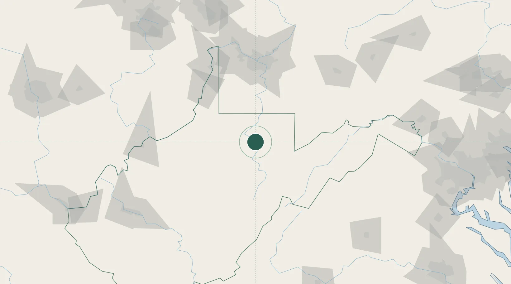
Place type
Provincial seat
Region
West Virginia
Population
5,148
Time zone
America/New_York
Elevation
312 m
Location
Nearby Logistics Neighbours
Cities
- 1Evansville13 km
- 2Worthington24 km
- 3Farmington27 km
- 4Reedsville28 km
- 5Adamston29 km
Ports
- 1Fredericksburg250 km
- 2Washington D.C.263 km
- 3Alexandria264 km
- 4Cleveland281 km
- 5Fairport292 km
Airports
Trade Zones
- 1FTZ No. 033 Pittsburgh122 km
- 2FTZ No. 240 Martinsburg174 km
- 3FTZ No. 229 Charleston184 km
- 4FTZ No. 185 Culpeper County192 km
- 5FTZ No. 295 Central Pennsylvania226 km
DatabookThe Record of Consolidated Knowledge
United States beyond logistics?