UN/LOCODE hub · United States
USWV3
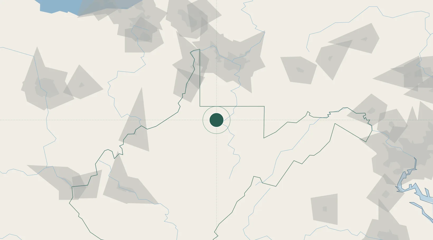
Farmington
39.5000°, -80.2500°
377
Population
2
Transport functions
Transport Functions
Road
Multimodal
Hub Profile
Place type
Populated place
Region
West Virginia
Population
377
Time zone
America/New_York
Elevation
284 m
Location
Nearby Logistics Neighbours
Cities
- 1Worthington6 km
- 2Adamston26 km
- 3Grafton27 km
- 4Kirby35 km
- 5Evansville38 km
Airports
Trade Zones
- 1FTZ No. 033 Pittsburgh105 km
- 2FTZ No. 229 Charleston181 km
- 3FTZ No. 240 Martinsburg193 km
- 4FTZ No. 181 Akron Canton206 km
- 5FTZ No. 185 Culpeper County219 km
DatabookThe Record of Consolidated Knowledge
United States beyond logistics?