UN/LOCODE hub · United States
USEIV
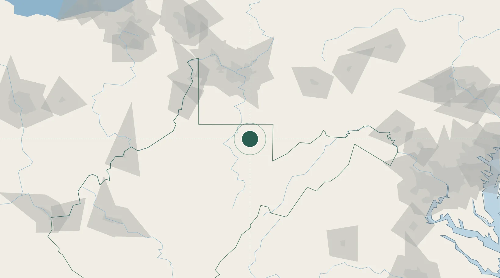
Reedsville
39.5167°, -79.8000°
601
Population
3
Transport functions
Transport Functions
Rail
Road
Multimodal
Hub Profile
Place type
Populated place
Region
West Virginia
Population
601
Time zone
America/New_York
Elevation
554 m
Location
Nearby Logistics Neighbours
Cities
- 1Masontown4 km
- 2Evansville21 km
- 3Bruceton Mills22 km
- 4Point Marion25 km
- 5Grafton28 km
Ports
- 1Fredericksburg244 km
- 2Washington D.C.249 km
- 3Alexandria252 km
- 4Cleveland274 km
- 5Baltimore278 km
Airports
Trade Zones
- 1FTZ No. 033 Pittsburgh104 km
- 2FTZ No. 240 Martinsburg155 km
- 3FTZ No. 185 Culpeper County188 km
- 4FTZ No. 295 Central Pennsylvania199 km
- 5FTZ No. 229 Charleston211 km
DatabookThe Record of Consolidated Knowledge
United States beyond logistics?