UN/LOCODE hub · United States
USZWG
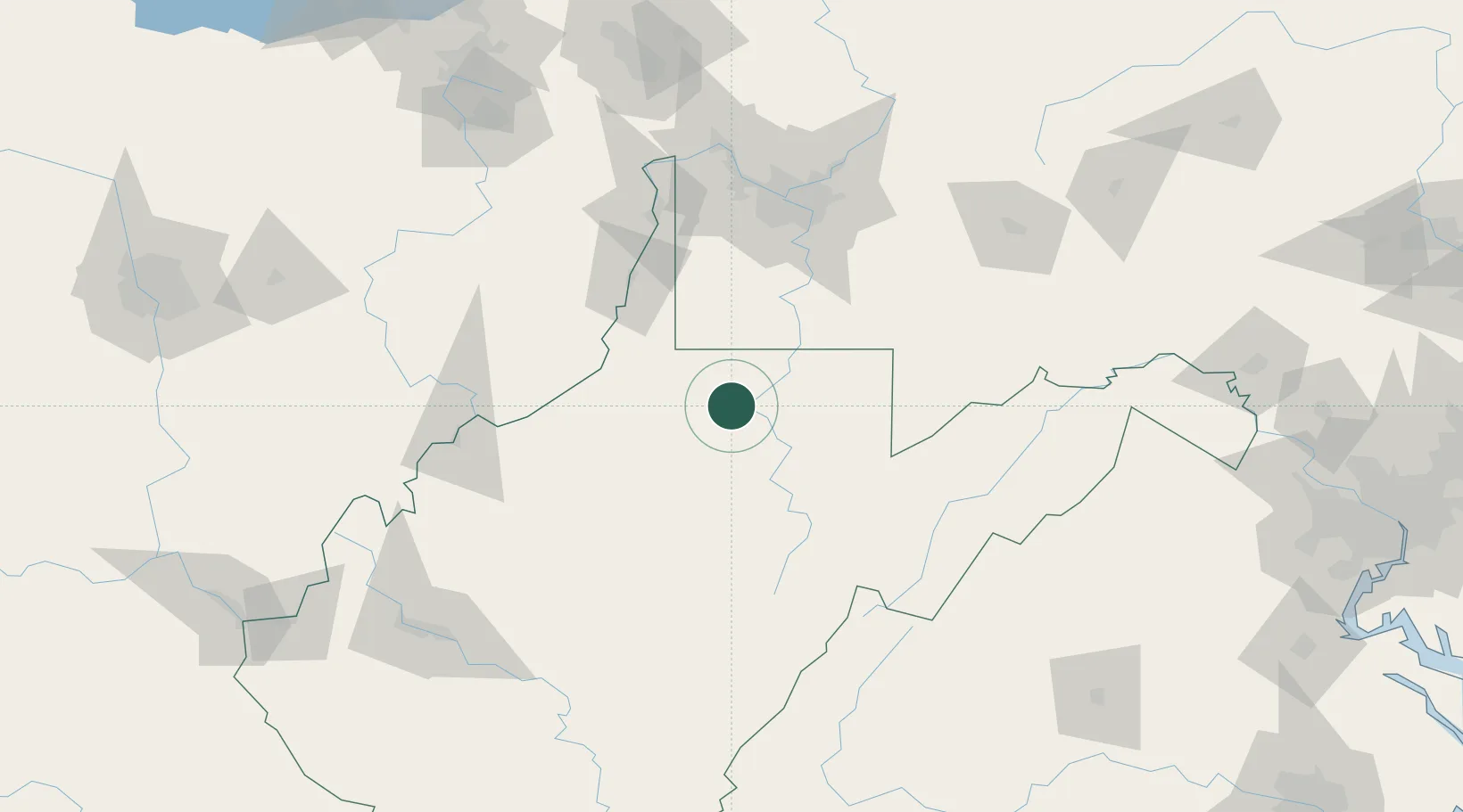
Worthington
39.4500°, -80.2500°
160
Population
2
Transport functions
Transport Functions
Road
Multimodal
Hub Profile
Place type
Populated place
Region
West Virginia
Population
160
Time zone
America/New_York
Elevation
281 m
Location
Nearby Logistics Neighbours
Cities
- 1Farmington6 km
- 2Adamston20 km
- 3Grafton24 km
- 4Evansville35 km
- 5Reedsville39 km
Ports
- 1Cleveland260 km
- 2Fairport272 km
- 3Fredericksburg274 km
- 4Ashtabula276 km
- 5Lorain278 km
Airports
Trade Zones
- 1FTZ No. 033 Pittsburgh110 km
- 2FTZ No. 229 Charleston177 km
- 3FTZ No. 240 Martinsburg193 km
- 4FTZ No. 181 Akron Canton210 km
- 5FTZ No. 185 Culpeper County216 km
DatabookThe Record of Consolidated Knowledge
United States beyond logistics?