Transport Functions
Multimodal
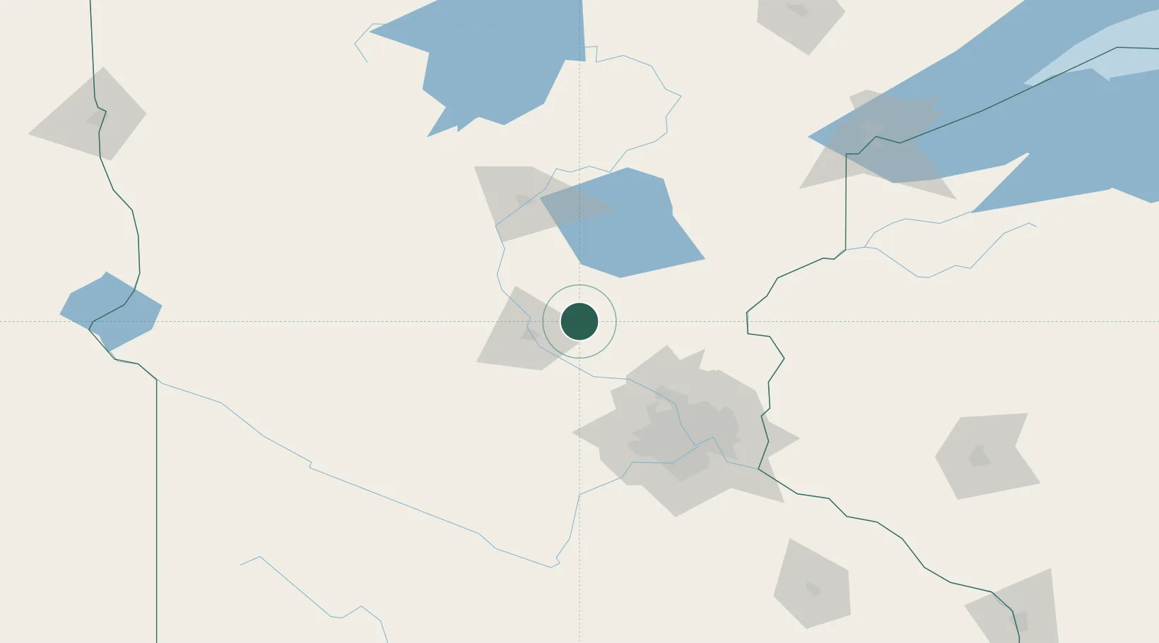
Hub Profile
Place type
Provincial seat
Region
Minnesota
Population
2,656
Time zone
America/Chicago
Elevation
347 m
Location
Nearby Logistics Neighbours
Cities
- 1Milaca22 km
- 2Waite Park27 km
- 3Clearwater29 km
- 4Rice29 km
- 5Becker30 km
Ports
- 1Superior186 km
- 2Duluth186 km
- 3Two Harbors230 km
- 4Ashland257 km
- 5Washburn258 km
Airports
Trade Zones
- 1FTZ No. 119 Minneapolis-St. Paul92 km
- 2FTZ No. 051 Duluth177 km
- 3FTZ No. 267 Fargo271 km
- 4FTZ No. 259 Koochiching County294 km
- 5FTZ No. 288 Northwest Iowa326 km
DatabookThe Record of Consolidated Knowledge
United States beyond logistics?